UN/LOCODE hub · United States
USOOE

Monroe, Tippecanoe

40.2833°, -86.7333°
2
Transport functions

Transport Functions

Road
Multimodal
UN/LOCODE

Hub Profile

Region
IN
GeoNames

Location

Location of USOOE
Natural Earth 10m (public domain) · IN · USOOE · 40.28, -86.73GoogleOSMYandex

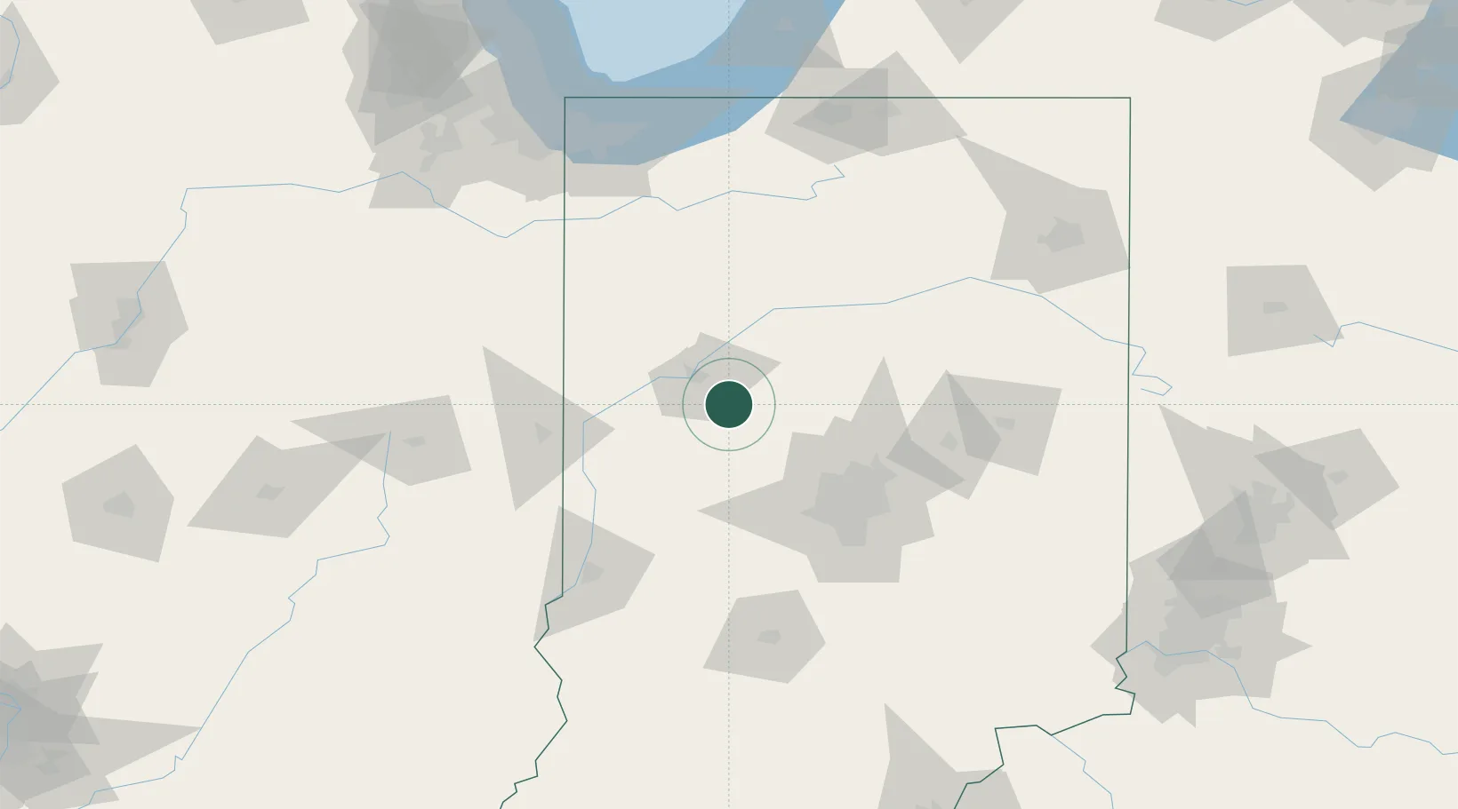
Nearby Logistics Neighbours

Cities
  1. 1Clarks Hill4 km
  2. 2West Lafayette21 km
  3. 3Shadeland, Tippecanoe21 km
  4. 4Battle Ground26 km
  5. 5Michigantown29 km
Nearest neighbours — logibook spatial index (haversine) over the source coordinates
Ports
  1. 1Gary157 km
  2. 2Michigan City162 km
  3. 3Indiana Harbor165 km
  4. 4Calumet Harbor174 km
  5. 5Chicago192 km
Nearest neighbours — logibook spatial index (haversine) over the source coordinates
Airports
  1. 1Purdue University Airport23 km
  2. 2Grissom Air Reserve Base64 km
  3. 3Indianapolis International Airport73 km
  4. 4Terre Haute Regional Airport, Hulman Field105 km
  5. 5Delaware County Johnson Field114 km
Nearest neighbours — logibook spatial index (haversine) over the source coordinates
Trade Zones
  1. 1FTZ No. 072 Indianapolis72 km
  2. 2FTZ No. 182 Fort Wayne151 km
  3. 3FTZ No. 152 Burns Harbor153 km
  4. 4FTZ No. 125 South Bend158 km
  5. 5FTZ No. 022 Chicago197 km
Nearest neighbours — logibook spatial index (haversine) over the source coordinates
DatabookThe Record of Consolidated Knowledge
United States beyond logistics?
Browse databook

All Sources

LocationsUN/LOCODE
UN/LOCODE — free
Portsthe NGA World Port Index
Public domain (US gov)
AirportsOurAirports
Public domain
Trade Zonesthe World Bank SEZ database
CC BY 4.0
Trade ZonesOpen Zone Map
CC BY
← United States locations