UN/LOCODE hub · United States
USCS9
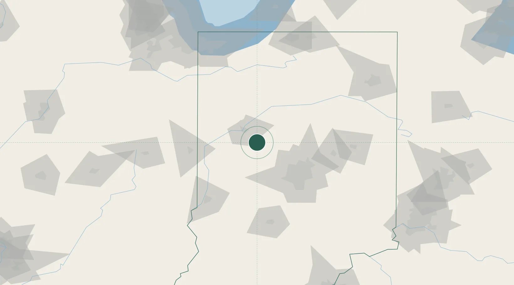
Clarks Hill
40.2500°, -86.7167°
677
Population
1
Transport functions
Transport Functions
Multimodal
Hub Profile
Place type
Populated place
Region
Indiana
Population
677
Time zone
America/Indiana/Indianapolis
Elevation
252 m
Location
Nearby Logistics Neighbours
Cities
- 1Monroe, Tippecanoe4 km
- 2Shadeland, Tippecanoe24 km
- 3West Lafayette24 km
- 4Michigantown28 km
- 5Battle Ground30 km
Ports
- 1Gary161 km
- 2Michigan City166 km
- 3Indiana Harbor169 km
- 4Calumet Harbor178 km
- 5Chicago196 km
Airports
Trade Zones
- 1FTZ No. 072 Indianapolis68 km
- 2FTZ No. 182 Fort Wayne152 km
- 3FTZ No. 152 Burns Harbor157 km
- 4FTZ No. 125 South Bend161 km
- 5FTZ No. 022 Chicago201 km
DatabookThe Record of Consolidated Knowledge
United States beyond logistics?