Transport Functions
Road
Multimodal
Hub Profile
Place type
Populated place
Region
Vermont
Time zone
America/New_York
Elevation
612 m
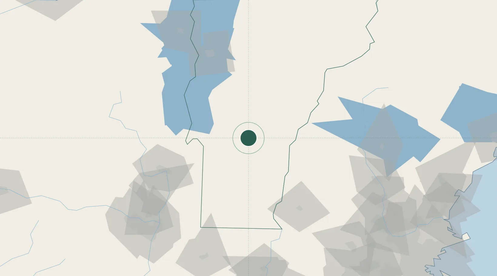
Location
Nearby Logistics Neighbours
Cities
- 1Rutland14 km
- 2Stockbridge17 km
- 3Proctor19 km
- 4West Rutland20 km
- 5Ludlow27 km
Ports
- 1Troy124 km
- 2Albany134 km
- 3Rensselaer134 km
- 4Portsmouth177 km
- 5Catskill179 km
Airports
Trade Zones
- 1FTZ No. 268 Brattleboro87 km
- 2FTZ No. 121 Albany131 km
- 3FTZ No. 201 Holyoke157 km
- 4FTZ No. 081 Portsmouth171 km
- 5FTZ No. 071 Windsor Locks190 km
DatabookThe Record of Consolidated Knowledge
United States beyond logistics?