Transport Functions
Rail
Road
Hub Profile
Place type
Populated place
Region
Vermont
Time zone
America/New_York
Elevation
153 m
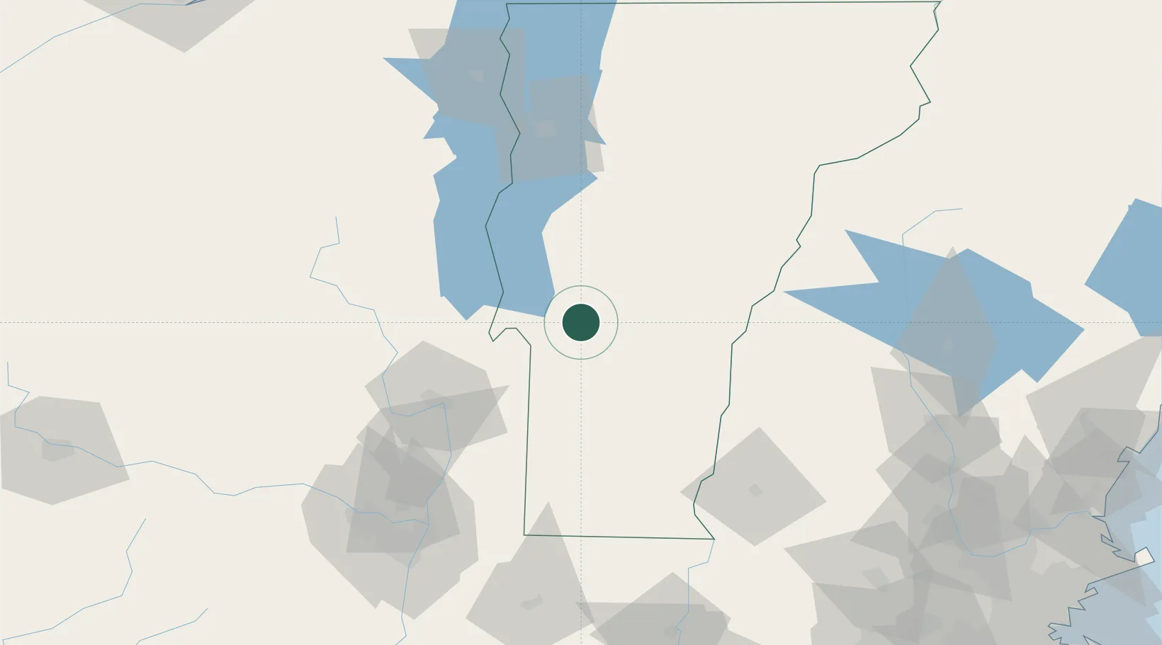
Location
Nearby Logistics Neighbours
Cities
- 1Rutland7 km
- 2West Rutland7 km
- 3Castleton13 km
- 4Forest Dale19 km
- 5Killington Village19 km
Ports
- 1Troy115 km
- 2Albany126 km
- 3Rensselaer126 km
- 4Catskill173 km
- 5Portsmouth195 km
Airports
Trade Zones
- 1FTZ No. 268 Brattleboro95 km
- 2FTZ No. 121 Albany122 km
- 3FTZ No. 201 Holyoke161 km
- 4FTZ No. 081 Portsmouth189 km
- 5FTZ No. 071 Windsor Locks194 km
DatabookThe Record of Consolidated Knowledge
United States beyond logistics?