Transport Functions
Road
Multimodal
Hub Profile
Place type
Populated place
Region
Vermont
Time zone
America/New_York
Elevation
260 m
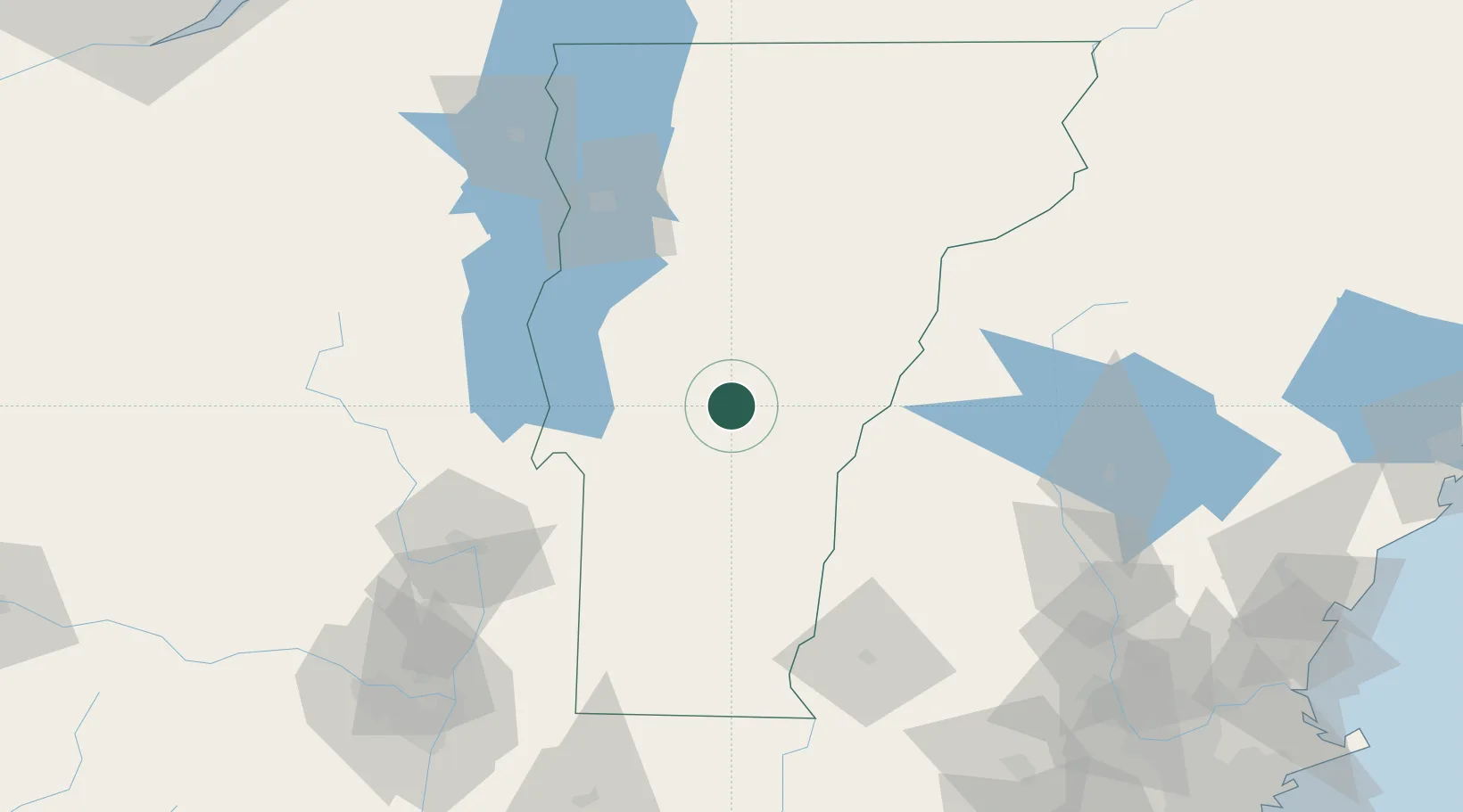
Location
Nearby Logistics Neighbours
Cities
- 1Hancock16 km
- 2Killington Village17 km
- 3Randolph18 km
- 4South Royalton19 km
- 5Sharon24 km
Ports
- 1Troy140 km
- 2Albany150 km
- 3Rensselaer150 km
- 4Portsmouth179 km
- 5Newburyport187 km
Airports
Trade Zones
- 1FTZ No. 268 Brattleboro103 km
- 2FTZ No. 121 Albany147 km
- 3FTZ No. 201 Holyoke173 km
- 4FTZ No. 081 Portsmouth174 km
- 5Greater Montreal Free Zone Center202 km
DatabookThe Record of Consolidated Knowledge
United States beyond logistics?