UN/LOCODE hub · United States
USRUT
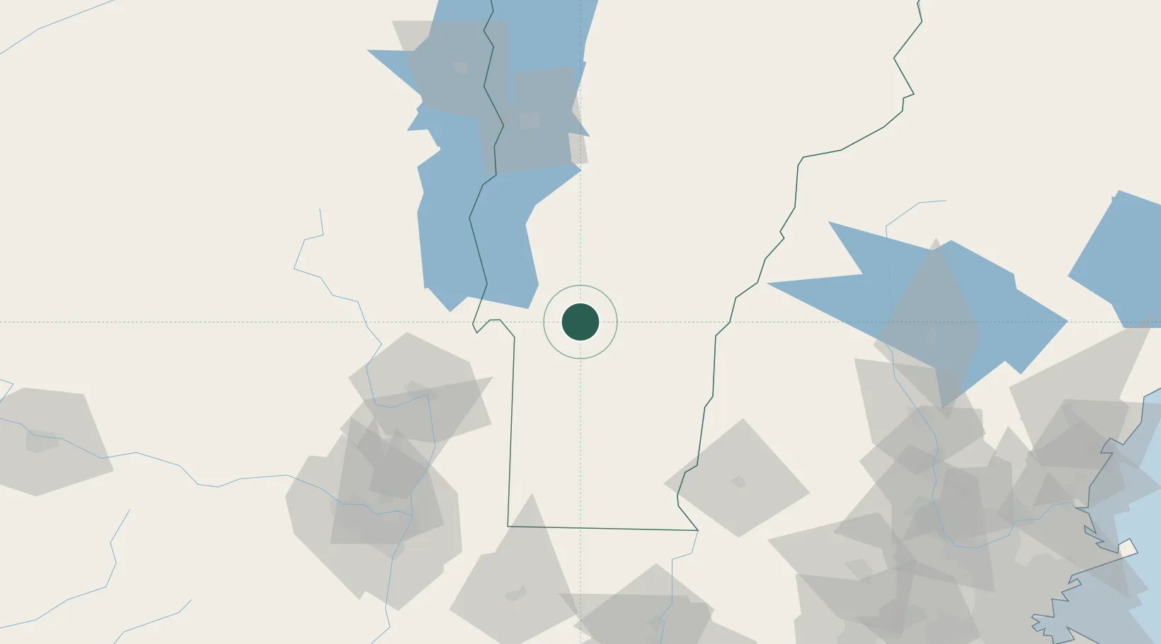
Rutland
43.6167°, -72.9667°
15,824
Population
4
Transport functions
Transport Functions
Rail
Road
Airport
Multimodal
Hub Profile
Place type
Provincial seat
Region
Vermont
Population
15,824
Time zone
America/New_York
Elevation
197 m
Location
Nearby Logistics Neighbours
Cities
- 1Proctor7 km
- 2West Rutland7 km
- 3Killington Village14 km
- 4Castleton17 km
- 5Fair Haven23 km
Ports
- 1Troy115 km
- 2Albany125 km
- 3Rensselaer125 km
- 4Catskill172 km
- 5Portsmouth189 km
Airports
Trade Zones
- 1FTZ No. 268 Brattleboro89 km
- 2FTZ No. 121 Albany122 km
- 3FTZ No. 201 Holyoke156 km
- 4FTZ No. 081 Portsmouth183 km
- 5FTZ No. 071 Windsor Locks190 km
DatabookThe Record of Consolidated Knowledge
United States beyond logistics?