Transport Functions
Road
Multimodal
Hub Profile
Place type
Populated place
Region
Kansas
Time zone
America/Chicago
Elevation
241 m
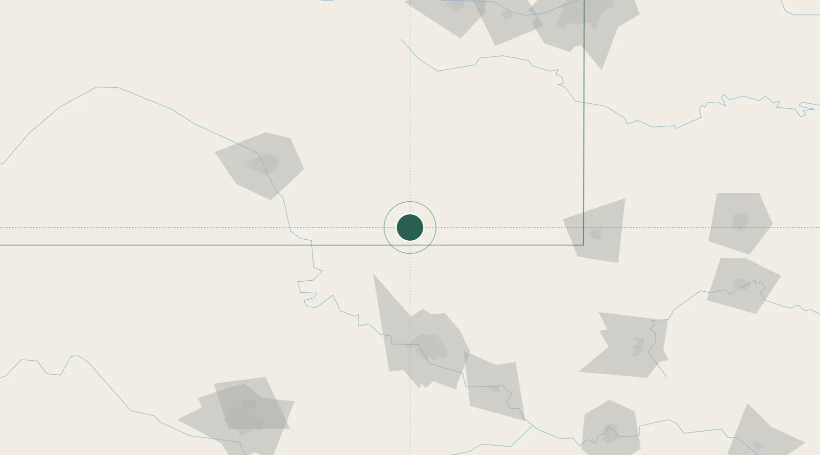
Location
Nearby Logistics Neighbours
Ports
- 1Port Of Memphis581 km
- 2Beaumont808 km
- 3Lake Charles815 km
- 4Orange816 km
- 5Port Neches820 km
Airports
- 1Chanute Martin Johnson Airport79 km
- 2Ponca City Regional Airport100 km
- 3Tulsa International Airport108 km
- 4McConnell Air Force Base116 km
- 5Tulsa Riverside Airport124 km
Trade Zones
- 1FTZ No. 053 Rogers County93 km
- 2FTZ No. 161 Sedgwick County159 km
- 3FTZ No. 164 Muskogee169 km
- 4FTZ No. 015 Kansas City215 km
- 5FTZ No. 106 Oklahoma City226 km
DatabookThe Record of Consolidated Knowledge
United States beyond logistics?