Transport Functions
Port
Hub Profile
Place type
Provincial seat
Region
Kansas
Population
1,041
Time zone
America/Chicago
Elevation
263 m
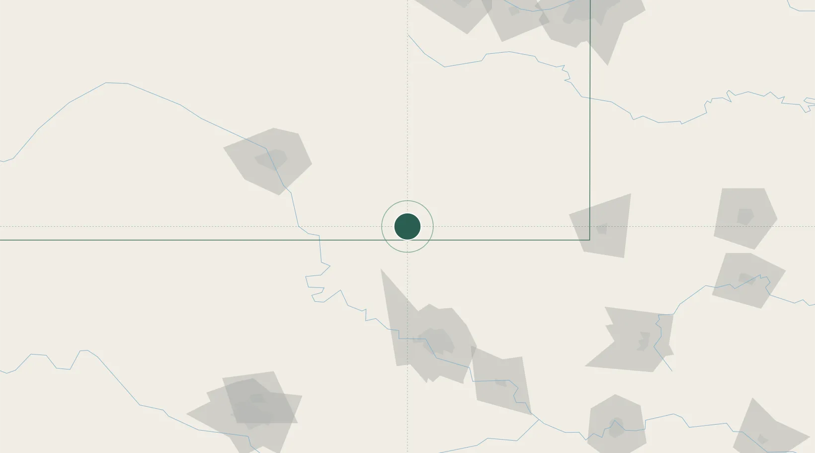
Location
Nearby Logistics Neighbours
Ports
- 1Port Of Memphis587 km
- 2Beaumont806 km
- 3Lake Charles814 km
- 4Orange814 km
- 5Port Neches818 km
Airports
- 1Chanute Martin Johnson Airport87 km
- 2Ponca City Regional Airport92 km
- 3Tulsa International Airport106 km
- 4McConnell Air Force Base111 km
- 5Tulsa Riverside Airport121 km
Trade Zones
- 1FTZ No. 053 Rogers County92 km
- 2FTZ No. 161 Sedgwick County153 km
- 3FTZ No. 164 Muskogee168 km
- 4FTZ No. 106 Oklahoma City219 km
- 5FTZ No. 015 Kansas City222 km
DatabookThe Record of Consolidated Knowledge
United States beyond logistics?