Transport Functions
Rail
Road
Multimodal
Hub Profile
Place type
Populated place
Region
Wisconsin
Population
705
Time zone
America/Chicago
Elevation
217 m
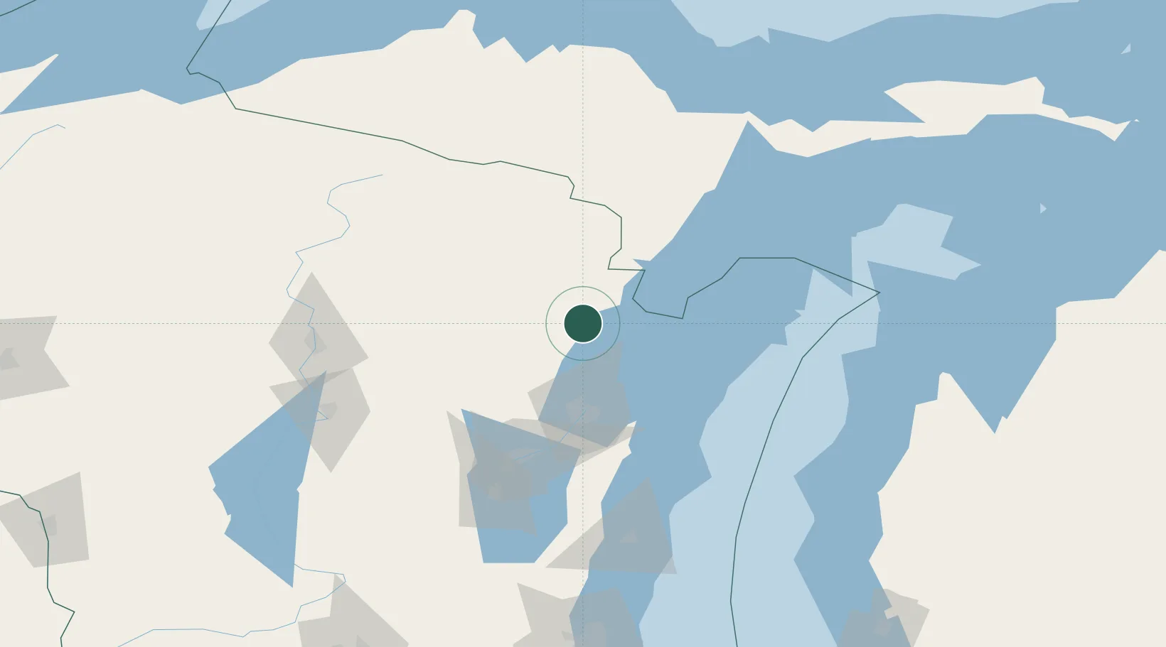
Location
Nearby Logistics Neighbours
Cities
- 1Pound6 km
- 2Crivitz21 km
- 3Krakow36 km
- 4Mountain37 km
- 5Stephenson52 km
Ports
- 1Oconto24 km
- 2Marinette34 km
- 3Menominee35 km
- 4Sturgeon Bay57 km
- 5Green Bay59 km
Airports
- 1Austin Straubel International Airport64 km
- 2Ford Airport86 km
- 3Appleton International Airport96 km
- 4Delta County Airport105 km
- 5Wittman Regional Airport126 km
Trade Zones
- 1FTZ No. 167 Brown County69 km
- 2FTZ No. 019 Omaha220 km
- 3FTZ No. 041 Milwaukee222 km
- 4FTZ No. 189 Kent Ottawa/Muskegon Counties245 km
- 5FTZ No. 266 Dane County258 km
DatabookThe Record of Consolidated Knowledge
United States beyond logistics?