UN/LOCODE hub · United States
USNDA
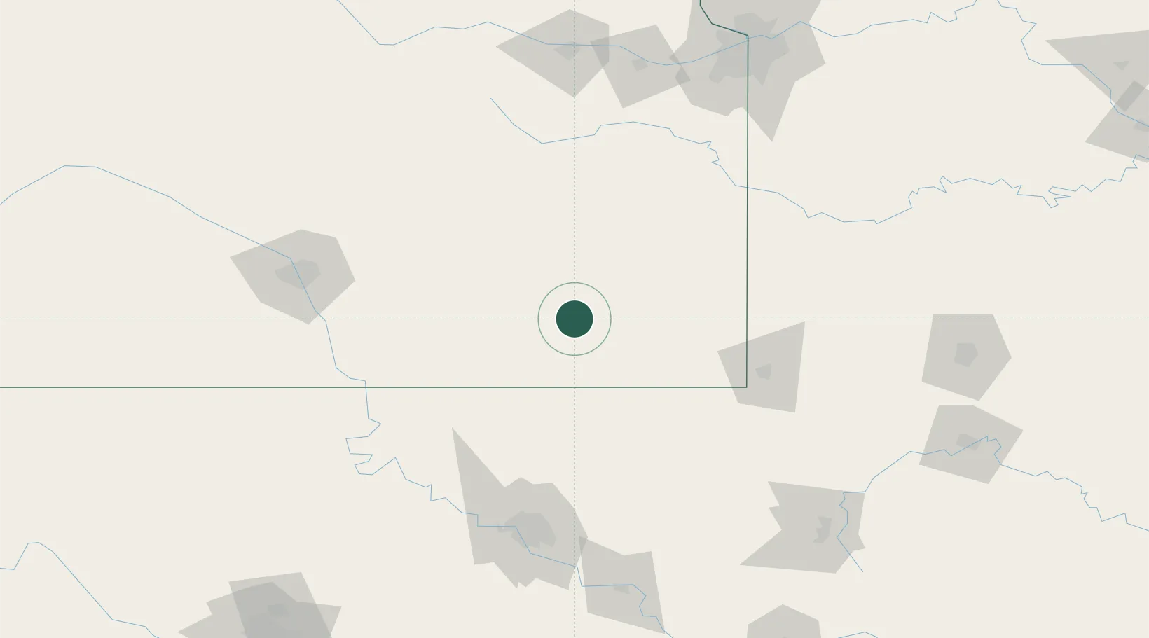
Neodesha
37.4167°, -95.6667°
2,357
Population
4
Transport functions
Transport Functions
Port
Rail
Road
Multimodal
Hub Profile
Place type
Populated place
Region
Kansas
Population
2,357
Time zone
America/Chicago
Elevation
247 m
Location
Nearby Logistics Neighbours
Ports
- 1Port Of Memphis558 km
- 2Beaumont828 km
- 3Lake Charles831 km
- 4Orange835 km
- 5Port Neches840 km
Airports
- 1Chanute Martin Johnson Airport32 km
- 2Joplin Regional Airport108 km
- 3Tulsa International Airport137 km
- 4McConnell Air Force Base143 km
- 5Ponca City Regional Airport148 km
Trade Zones
- 1FTZ No. 053 Rogers County121 km
- 2FTZ No. 015 Kansas City172 km
- 3FTZ No. 161 Sedgwick County187 km
- 4FTZ No. 164 Muskogee189 km
- 5FTZ No. 017 Kansas City199 km
DatabookThe Record of Consolidated Knowledge
United States beyond logistics?