UN/LOCODE hub · United States
USKFW
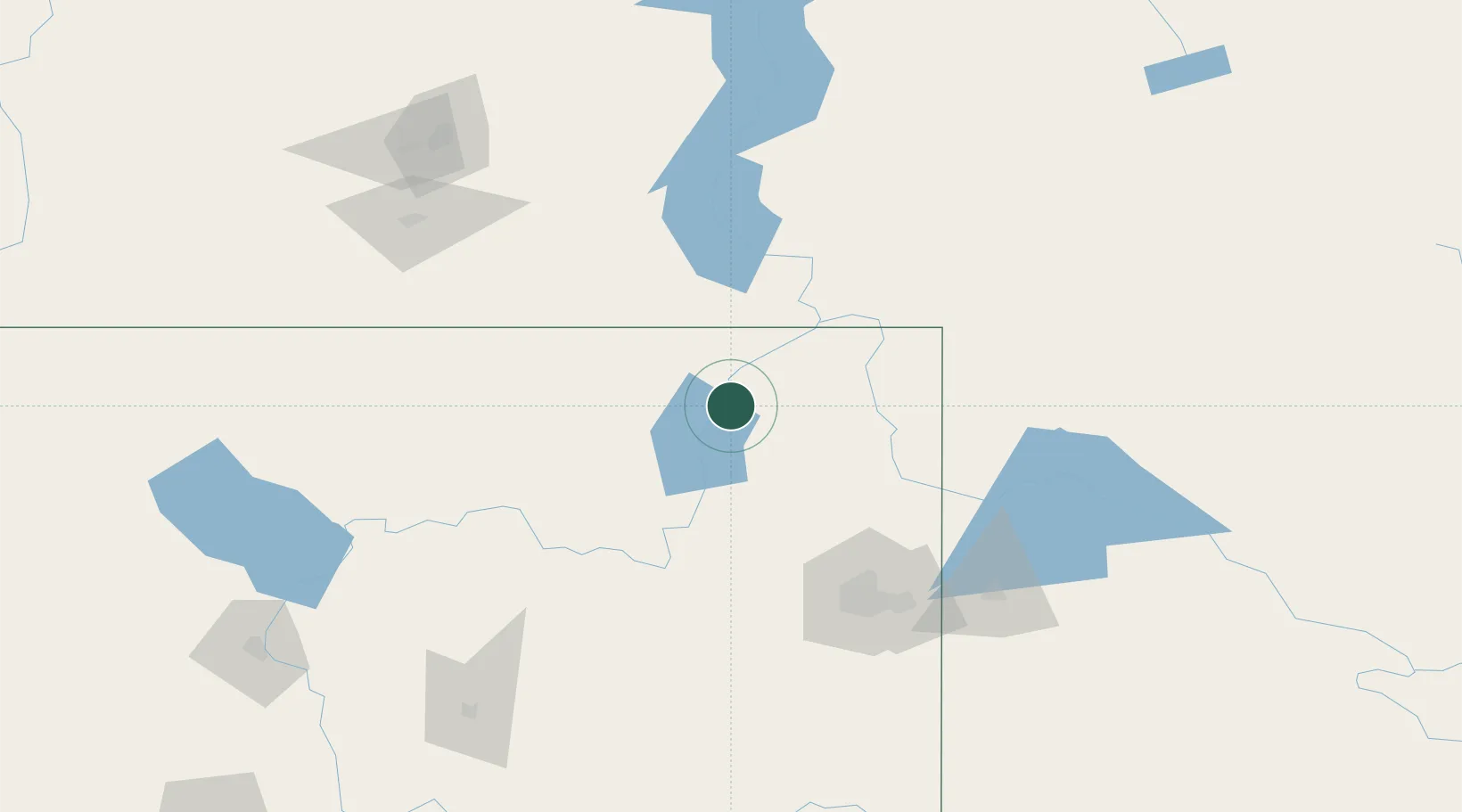
Kettle Falls
48.6167°, -118.0500°
1,597
Population
2
Transport functions
Transport Functions
Rail
Road
Hub Profile
Place type
Populated place
Region
Washington
Population
1,597
Time zone
America/Los_Angeles
Elevation
497 m
Location
Nearby Logistics Neighbours
Ports
- 1Mission City313 km
- 2Everett316 km
- 3Mukilteo323 km
- 4Bellingham327 km
- 5Point Wells335 km
Airports
- 1Grand Forks Airport52 km
- 2Trail Regional Airport59 km
- 3Castlegar/West Kootenay Regional Airport82 km
- 4Fairchild Air Force Base115 km
- 5Felts Field117 km
Trade Zones
- 1FTZ No. 242 Boundary County91 km
- 2FTZ No. 224 Spokane113 km
- 3FTZ No. 203 Moses Lake191 km
- 4FTZ No. 085 Everett316 km
- 5FTZ No. 129 Bellingham329 km
DatabookThe Record of Consolidated Knowledge
United States beyond logistics?