Medium airport · Canada

Castlegar/West Kootenay Regional AirportCYCG

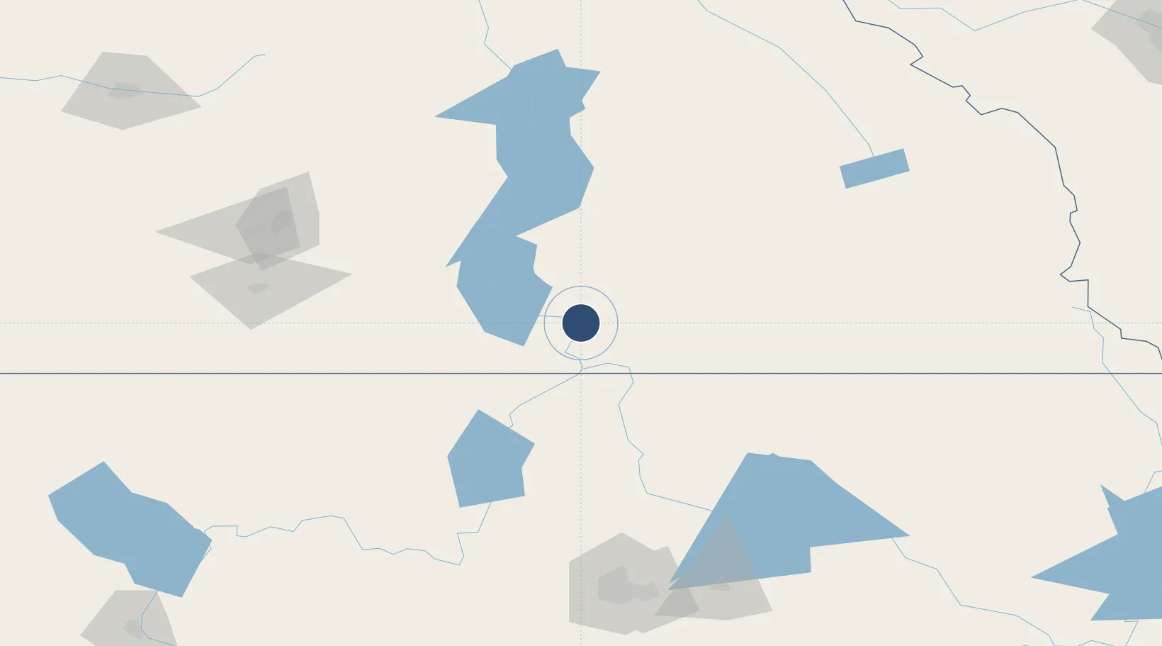
49.2964°, -117.6320°
5,300 ft
Longest runway
1
Runways
1,624 ft
Elevation

Runway & Layout

Castlegar/West Kootenay Regional Airport runway & taxiway layout
Runway & taxiway layout — OpenStreetMap (ODbL) / OurAirports

Radio Frequencies

ATF
122.1 MHz
CNTR
134.2 MHz
VANCOUVER CNTR
RCO
126.7 MHz
KAMLOOPS RDO
RDO
122.1 MHz
OurAirports

Navaids

CG NDB Castlegar 227 kHz
EF NDB Champion 206 kHz
XCG DME Castlegar 110.10 MHz
YK NDB Brilliant 269 kHz
OurAirports

Runways · 1

RunwayDimensions SurfaceTrue headingLit
15/33 5,300 × 150ft Asphalt 169°
OurAirports

Airport Specifications

IATA code
YCG
OurAirports
ICAO code
CYCG
OurAirports
Airport class
Medium airport
OurAirports
Scheduled service
Yes
OurAirports
Runway surface
Asphalt
OurAirports
Served city
Castlegar
OurAirports

Location

Location of CYCG
Natural Earth 10m (public domain) · British Columbia · CYCG · 49.30, -117.63GoogleOSMYandex

Nearby Logistics Neighbours

Airports
  1. 1Trail Regional Airport27 km
  2. 2Grand Forks Airport66 km
  3. 3Cranbrook/Canadian Rockies International Airport138 km
  4. 4Penticton Airport144 km
  5. 5Kelowna International Airport146 km
Nearest neighbours — logibook spatial index (haversine) over the source coordinates
Cities
  1. 1Salmo29 km
  2. 2Nelson32 km
  3. 3Greenwood79 km
  4. 4New Denver79 km
  5. 5Kettle Falls82 km
Nearest neighbours — logibook spatial index (haversine) over the source coordinates
Ports
  1. 1Mission City336 km
  2. 2Bellingham360 km
  3. 3Everett366 km
  4. 4Port Coquitlam373 km
  5. 5Blaine374 km
Nearest neighbours — logibook spatial index (haversine) over the source coordinates
Trade Zones
  1. 1FTZ No. 242 Boundary County85 km
  2. 2FTZ No. 224 Spokane181 km
  3. 3FTZ No. 203 Moses Lake272 km
  4. 4Calgary Region Inland Port320 km
  5. 5FTZ No. 128 Whatcom County362 km
Nearest neighbours — logibook spatial index (haversine) over the source coordinates
DatabookThe Record of Consolidated Knowledge
Canada beyond logistics?
Browse databook

All Sources

AirportsOurAirports
Public domain
Portsthe NGA World Port Index
Public domain (US gov)
LocationsUN/LOCODE
UN/LOCODE — free
Trade Zonesthe World Bank SEZ database
CC BY 4.0
Trade ZonesOpen Zone Map
CC BY
InfrastructureOpenStreetMap
ODbL 1.0
← Canada airports