Transport Functions
Rail
Hub Profile
Place type
Populated place
Region
British Columbia
Population
702
Time zone
America/Vancouver
Elevation
938 m
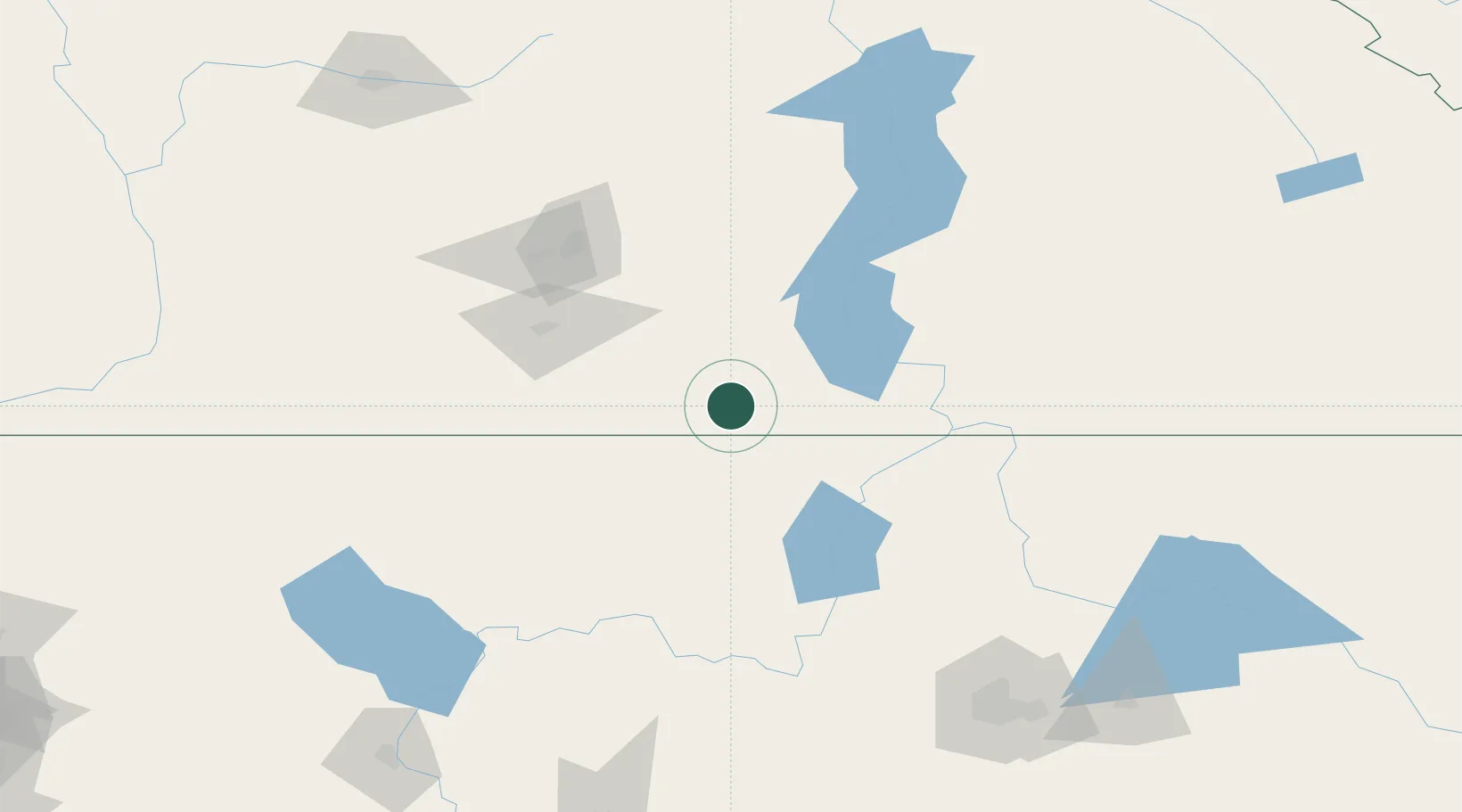
Location
Nearby Logistics Neighbours
Cities
- 1Bridesville35 km
- 2Republic54 km
- 3Osoyoos58 km
- 4Oliver63 km
- 5Okanagan Falls69 km
Ports
- 1Mission City260 km
- 2Bellingham282 km
- 3Everett289 km
- 4Anacortes296 km
- 5Blaine297 km
Airports
Trade Zones
- 1FTZ No. 242 Boundary County143 km
- 2FTZ No. 224 Spokane185 km
- 3FTZ No. 203 Moses Lake228 km
- 4FTZ No. 129 Bellingham284 km
- 5FTZ No. 128 Whatcom County284 km
DatabookThe Record of Consolidated Knowledge
Canada beyond logistics?