Medium airport · Canada

Grand Forks AirportCZGF

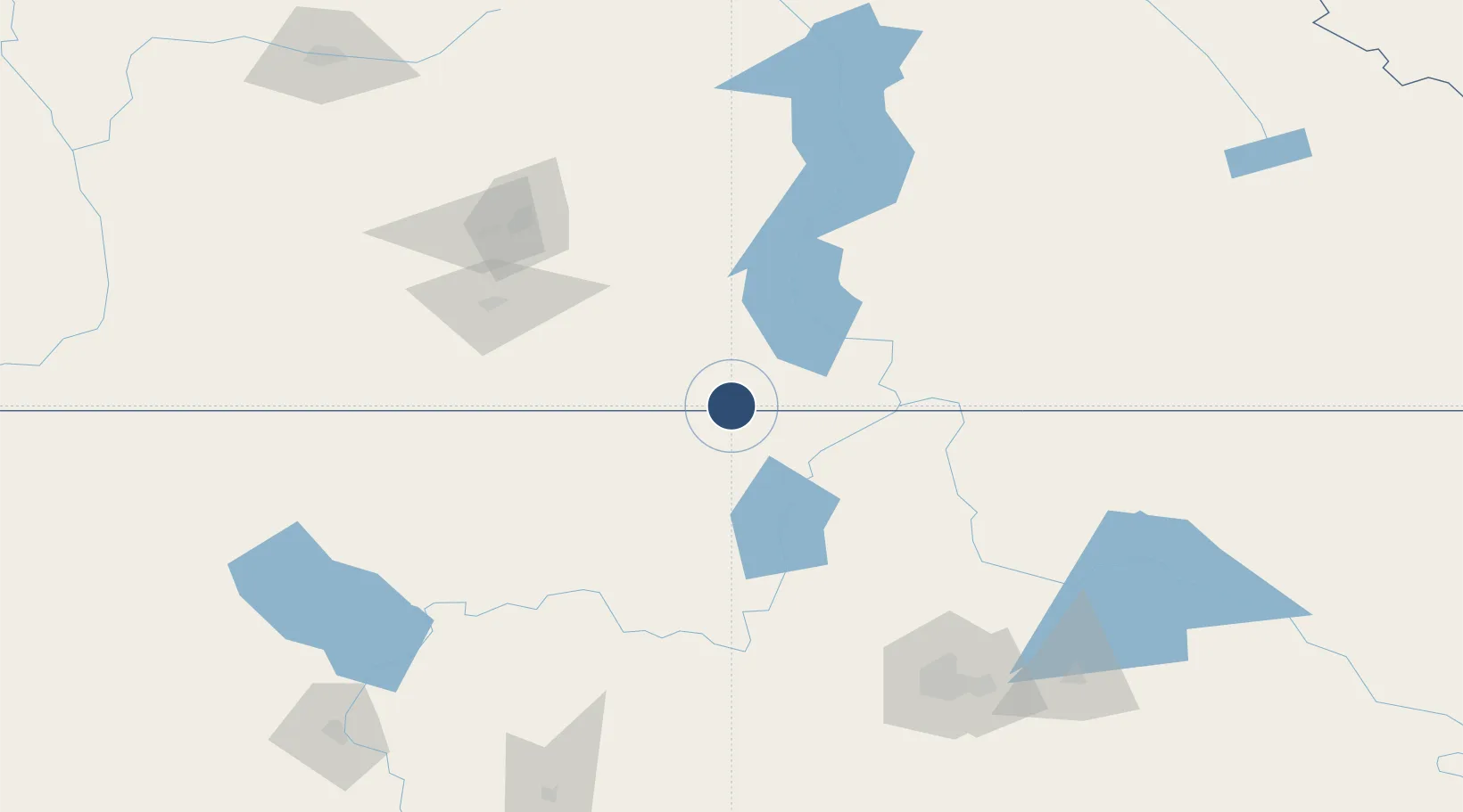
49.0156°, -118.4310°
4,300 ft
Longest runway
1
Runways
1,720 ft
Elevation

Runway & Layout

Grand Forks Airport runway & taxiway layout
Runway & taxiway layout — OpenStreetMap (ODbL) / OurAirports

Radio Frequencies

AWOS
122.97 MHz
ATF
123.2 MHz
RCO
126.7 MHz
PACIFIC RDO
OurAirports

Navaids

2J NDB-DME Grand Forks 0.25 MHz
OurAirports

Runways · 1

RunwayDimensions SurfaceTrue headingLit
07/25 4,300 × 100ft Asphalt 090°
OurAirports

Airport Specifications

IATA code
ZGF
OurAirports
ICAO code
CZGF
OurAirports
Airport class
Medium airport
OurAirports
Scheduled service
No
OurAirports
Runway surface
Asphalt
OurAirports
Served city
Grand Forks
OurAirports

Location

Location of CZGF
Natural Earth 10m (public domain) · British Columbia · CZGF · 49.02, -118.43GoogleOSMYandex

Nearby Logistics Neighbours

Airports
  1. 1Trail Regional Airport60 km
  2. 2Castlegar/West Kootenay Regional Airport66 km
  3. 3Penticton Airport99 km
  4. 4Kelowna International Airport125 km
  5. 5Vernon Regional Airport151 km
Nearest neighbours — logibook spatial index (haversine) over the source coordinates
Cities
  1. 1Greenwood23 km
  2. 2Republic46 km
  3. 3Bridesville51 km
  4. 4Kettle Falls52 km
  5. 5Colville65 km
Nearest neighbours — logibook spatial index (haversine) over the source coordinates
Ports
  1. 1Mission City279 km
  2. 2Bellingham299 km
  3. 3Everett301 km
  4. 4Mukilteo309 km
  5. 5Anacortes312 km
Nearest neighbours — logibook spatial index (haversine) over the source coordinates
Trade Zones
  1. 1FTZ No. 242 Boundary County121 km
  2. 2FTZ No. 224 Spokane165 km
  3. 3FTZ No. 203 Moses Lake220 km
  4. 4FTZ No. 085 Everett301 km
  5. 5FTZ No. 129 Bellingham301 km
Nearest neighbours — logibook spatial index (haversine) over the source coordinates
DatabookThe Record of Consolidated Knowledge
Canada beyond logistics?
Browse databook

All Sources

AirportsOurAirports
Public domain
Portsthe NGA World Port Index
Public domain (US gov)
LocationsUN/LOCODE
UN/LOCODE — free
Trade Zonesthe World Bank SEZ database
CC BY 4.0
Trade ZonesOpen Zone Map
CC BY
InfrastructureOpenStreetMap
ODbL 1.0
← Canada airports