Transport Functions
Road
Multimodal
Hub Profile
Place type
Populated place
Region
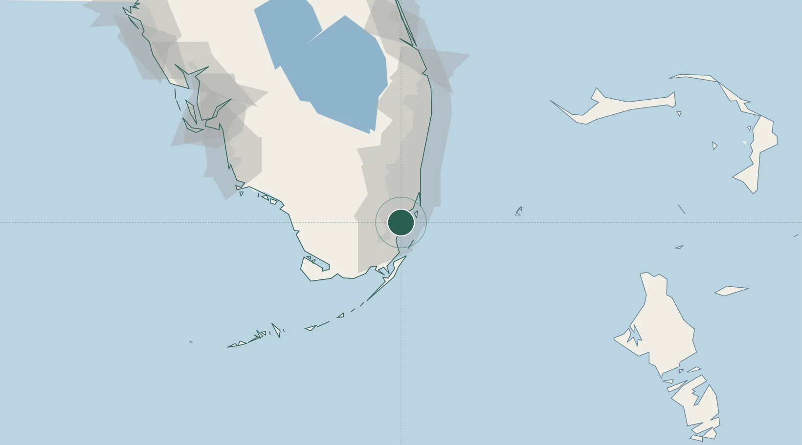
Florida
Time zone
America/New_York
Elevation
4 m
Location
Nearby Logistics Neighbours
Cities
- 1Palmetto Bay3 km
- 2Coconut Grove11 km
- 3University Park13 km
- 4Naranja18 km
- 5Miami River19 km
Ports
- 1Miami20 km
- 2Port Everglades55 km
- 3Palm Beach129 km
- 4Freeport181 km
- 5Key West195 km
Airports
Trade Zones
DatabookThe Record of Consolidated Knowledge
United States beyond logistics?