UN/LOCODE hub · United States
USUP2
University Park
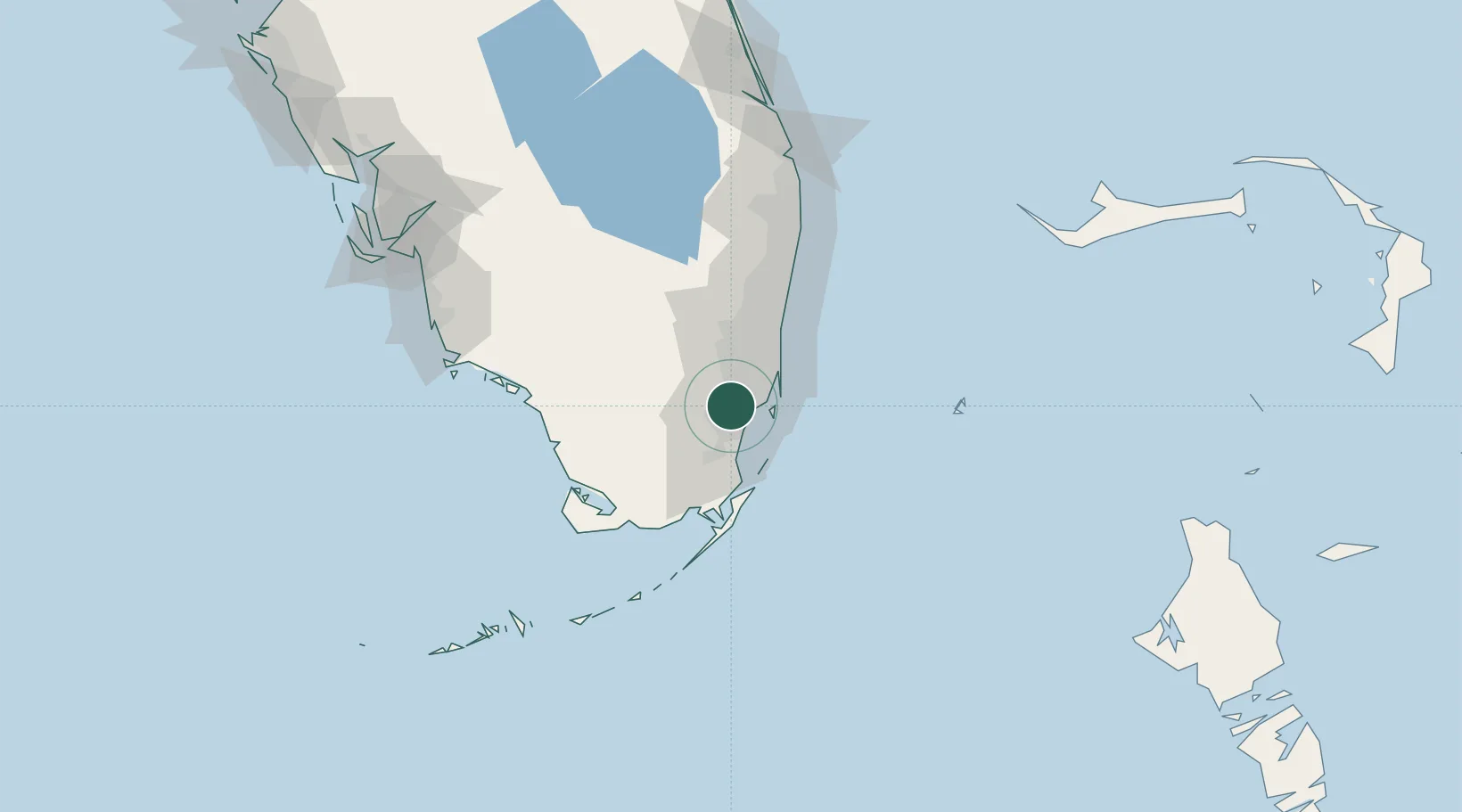
25.7333°, -80.3667°
26,995
Population
1
Transport functions
Transport Functions
Multimodal
Hub Profile
Place type
Populated place
Region
Florida
Population
26,995
Time zone
America/New_York
Elevation
1 m
Location
Nearby Logistics Neighbours
Cities
- 1Coconut Grove12 km
- 2Kings Bay13 km
- 3Palmetto Bay14 km
- 4Miami15 km
- 5Hialeah Gardens16 km
Ports
- 1Miami19 km
- 2Port Everglades48 km
- 3Palm Beach119 km
- 4Freeport181 km
- 5Fort Pierce193 km
Airports
Trade Zones
DatabookThe Record of Consolidated Knowledge
United States beyond logistics?