Medium airport · United States

Homestead Air Reserve BaseKHST
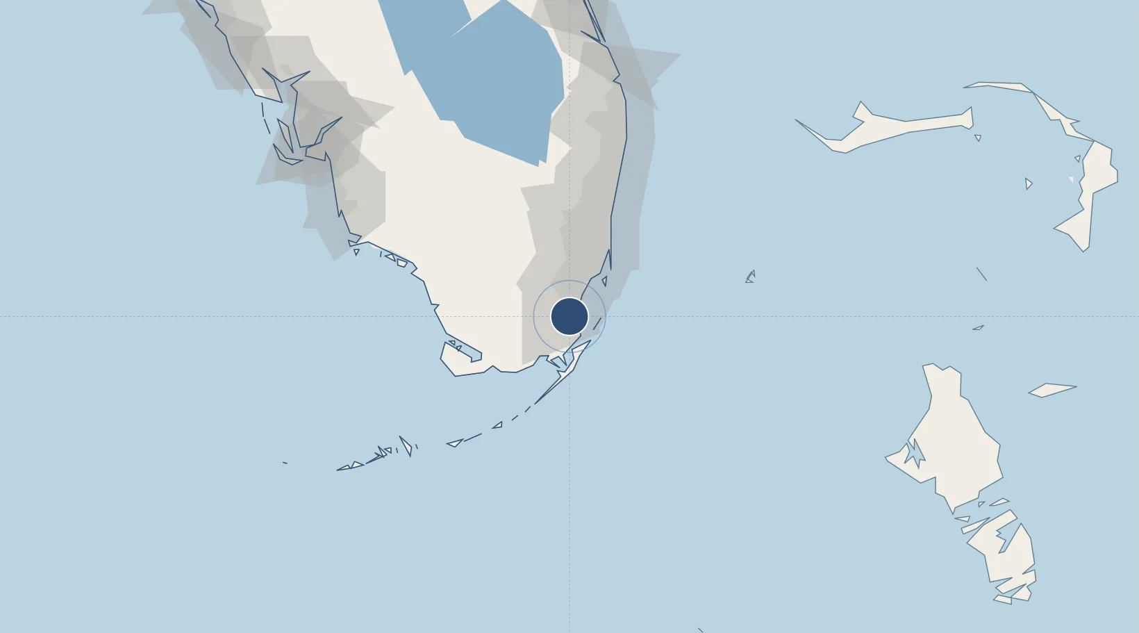
25.4886°, -80.3836°
11,201 ft
Longest runway
1
Runways
5 ft
Elevation

Runway & Layout

Homestead Air Reserve Base runway & taxiway layout
Runway & taxiway layout — OpenStreetMap (ODbL) / OurAirports

Radio Frequencies

ATIS
132.275 MHz
TWR
133.45 MHz
GND
121.75 MHz
CLD
27.58 MHz
CLNC DEL
A/D
123.8 MHz
APP/DEP
GCA
123.8 MHz
OPS
138.025 MHz
93FS
PMSV
31.865 MHz
PMSV METRO
POST
25.21 MHz
COMD POST
PTD
37.22 MHz
OurAirports

Navaids

HST TACAN Homestead 108.20 MHz
OurAirports

Runways · 1

RunwayDimensions SurfaceTrue headingLit
05/23 11,201 × 300ft Concrete 049°
OurAirports

Airport Specifications

IATA code
HST
OurAirports
ICAO code
KHST
OurAirports
Airport class
Medium airport
OurAirports
Scheduled service
No
OurAirports
Runway surface
Concrete
OurAirports
Served city
Homestead
OurAirports

Location

Location of KHST
Natural Earth 10m (public domain) · Florida · KHST · 25.49, -80.38GoogleOSMYandex

Nearby Logistics Neighbours

Airports
  1. 1Miami Homestead General Aviation Airport17 km
  2. 2Miami Executive Airport18 km
  3. 3Ocean Reef Club Airport21 km
  4. 4Miami International Airport36 km
  5. 5Miami-Opa Locka Executive Airport48 km
Nearest neighbours — logibook spatial index (haversine) over the source coordinates
Cities
  1. 1Naranja5 km
  2. 2Florida City11 km
  3. 3Palmetto Bay16 km
  4. 4Kings Bay18 km
  5. 5University Park27 km
Nearest neighbours — logibook spatial index (haversine) over the source coordinates
Ports
  1. 1Miami38 km
  2. 2Port Everglades73 km
  3. 3Palm Beach146 km
  4. 4Key West178 km
  5. 5Freeport197 km
Nearest neighbours — logibook spatial index (haversine) over the source coordinates
Trade Zones
  1. 1FTZ No. 032 Miami35 km
  2. 2FTZ No. 281 Miami-Dade County36 km
  3. 3FTZ No. 180 Miami (Wynwood)39 km
  4. 4FTZ No. 025 Broward County71 km
  5. 5FTZ No. 241 Fort Lauderdale82 km
Nearest neighbours — logibook spatial index (haversine) over the source coordinates
DatabookThe Record of Consolidated Knowledge
United States beyond logistics?
Browse databook

All Sources

AirportsOurAirports
Public domain
Portsthe NGA World Port Index
Public domain (US gov)
LocationsUN/LOCODE
UN/LOCODE — free
Trade Zonesthe World Bank SEZ database
CC BY 4.0
Trade ZonesOpen Zone Map
CC BY
InfrastructureOpenStreetMap
ODbL 1.0
← United States airports