UN/LOCODE hub · United States
USNJ3
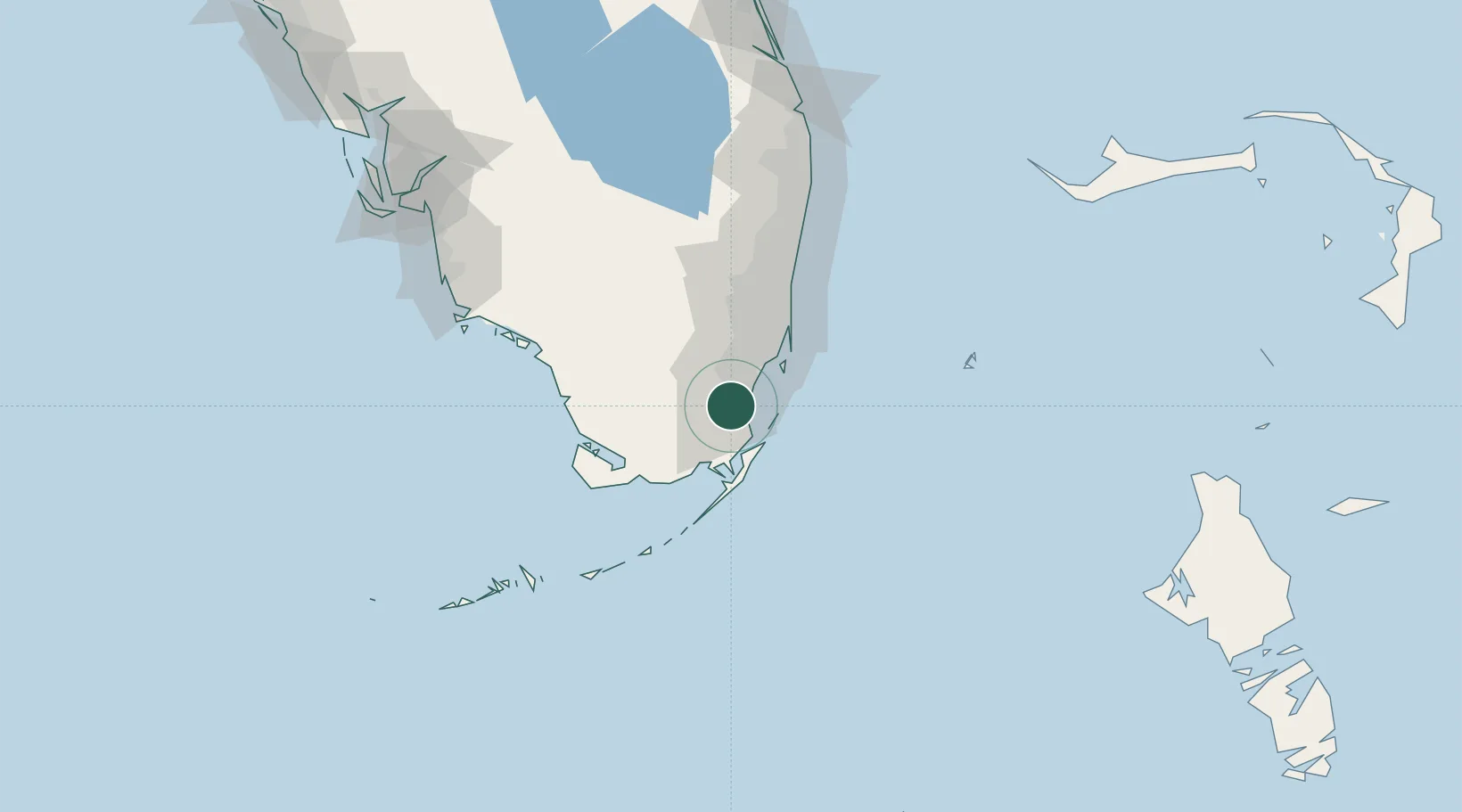
Naranja
25.5167°, -80.4167°
13,509
Population
1
Transport functions
Transport Functions
Multimodal
Hub Profile
Place type
Populated place
Region
Florida
Population
13,509
Time zone
America/New_York
Elevation
2 m
Location
Nearby Logistics Neighbours
Cities
- 1Florida City10 km
- 2Palmetto Bay15 km
- 3Kings Bay18 km
- 4University Park25 km
- 5Coconut Grove28 km
Ports
- 1Miami38 km
- 2Port Everglades72 km
- 3Palm Beach144 km
- 4Key West177 km
- 5Freeport198 km
Airports
Trade Zones
DatabookThe Record of Consolidated Knowledge
United States beyond logistics?