Medium airport · United States

Miami Homestead General Aviation AirportKX51
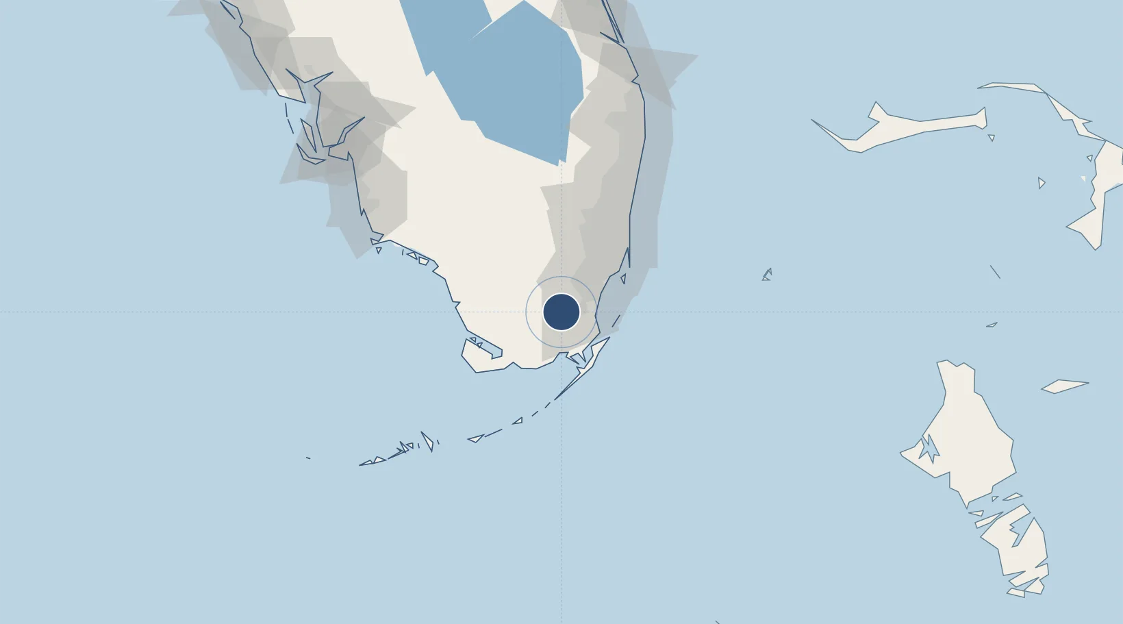
25.4992°, -80.5543°
4,000 ft
Longest runway
3
Runways
7 ft
Elevation

Runway & Layout

Miami Homestead General Aviation Airport runway & taxiway layout
Runway & taxiway layout — OpenStreetMap (ODbL) / OurAirports

Radio Frequencies

UNIC
122.8 MHz
CTAF/UNICOM
OurAirports

Runways · 3

RunwayDimensions SurfaceTrue headingLit
18/36 4,000 × 100ft ASPH-G 179°
10/28 3,000 × 75ft Asphalt 090°
09G/27G 1,000 × 500ft TURF-G
OurAirports

Airport Specifications

Airport class
Medium airport
OurAirports
Scheduled service
No
OurAirports
Runway surface
ASPH-G
OurAirports
Served city
Homestead
OurAirports

Location

Location of KX51
Natural Earth 10m (public domain) · Florida · KX51 · 25.50, -80.55GoogleOSMYandex

Nearby Logistics Neighbours

Airports
  1. 1Homestead Air Reserve Base17 km
  2. 2Miami Executive Airport21 km
  3. 3Ocean Reef Club Airport34 km
  4. 4Miami International Airport42 km
  5. 5Miami-Opa Locka Executive Airport53 km
Nearest neighbours — logibook spatial index (haversine) over the source coordinates
Cities
  1. 1Florida City9 km
  2. 2Naranja14 km
  3. 3Palmetto Bay27 km
  4. 4Kings Bay30 km
  5. 5University Park32 km
Nearest neighbours — logibook spatial index (haversine) over the source coordinates
Ports
  1. 1Miami49 km
  2. 2Port Everglades80 km
  3. 3Palm Beach150 km
  4. 4Key West165 km
  5. 5Freeport210 km
Nearest neighbours — logibook spatial index (haversine) over the source coordinates
Trade Zones
  1. 1FTZ No. 281 Miami-Dade County20 km
  2. 2FTZ No. 032 Miami41 km
  3. 3FTZ No. 180 Miami (Wynwood)49 km
  4. 4FTZ No. 025 Broward County78 km
  5. 5FTZ No. 241 Fort Lauderdale87 km
Nearest neighbours — logibook spatial index (haversine) over the source coordinates
DatabookThe Record of Consolidated Knowledge
United States beyond logistics?
Browse databook

All Sources

AirportsOurAirports
Public domain
Portsthe NGA World Port Index
Public domain (US gov)
LocationsUN/LOCODE
UN/LOCODE — free
Trade Zonesthe World Bank SEZ database
CC BY 4.0
Trade ZonesOpen Zone Map
CC BY
InfrastructureOpenStreetMap
ODbL 1.0
← United States airports