UN/LOCODE hub · United States
USOOX
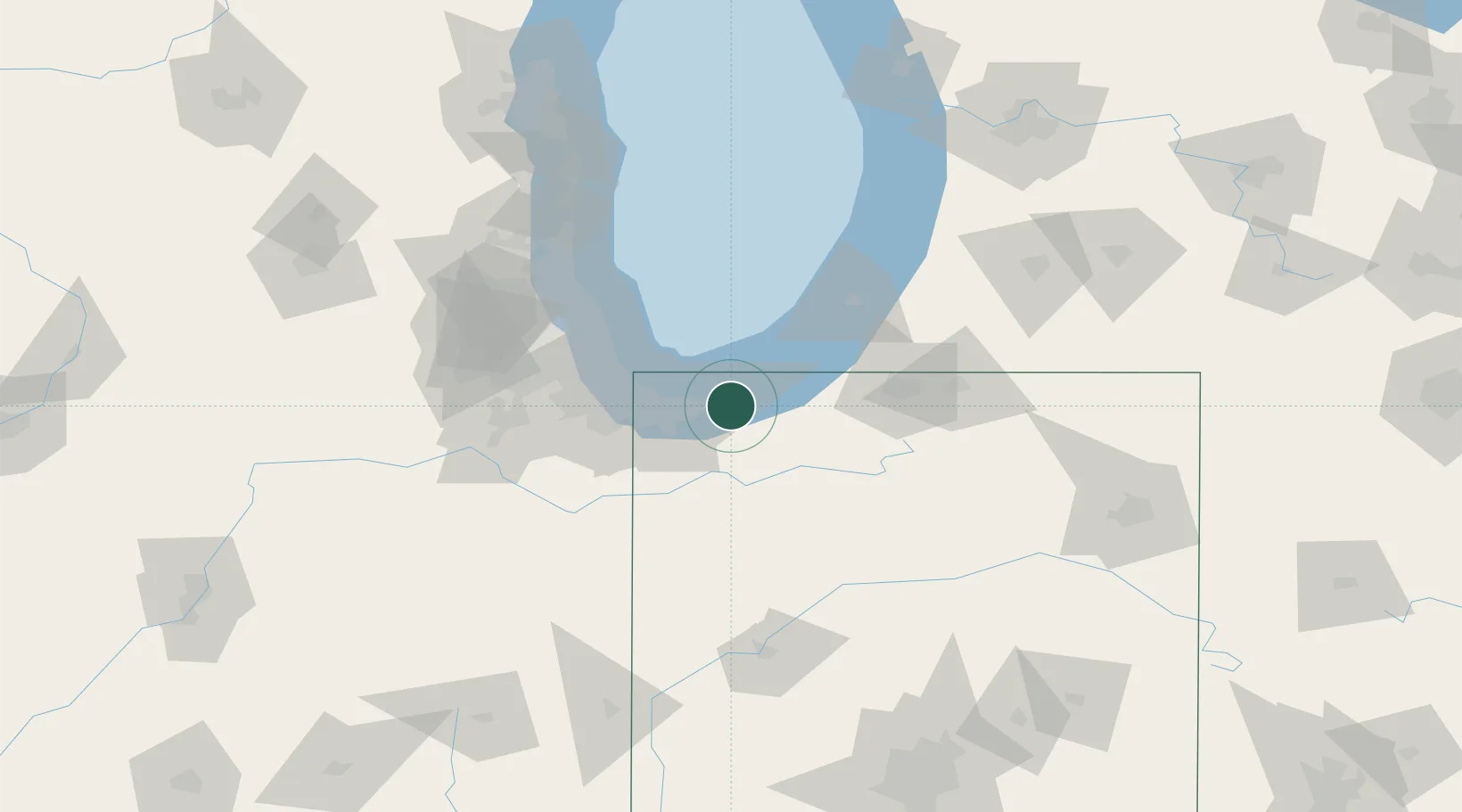
Chesterton
41.5975°, -87.0527°
13,433
Population
2
Transport functions
Transport Functions
Rail
Road
Hub Profile
Place type
Populated place
Region
Indiana
Population
13,433
Time zone
America/Chicago
Elevation
195 m
Logistics facilities
1
Location
Nearby Logistics Neighbours
Cities
- 1Burns Harbor7 km
- 2Portage12 km
- 3Lake Station14 km
- 4Kingsbury30 km
- 5Kouts31 km
Ports
- 1Michigan City20 km
- 2Gary23 km
- 3Indiana Harbor33 km
- 4Calumet Harbor41 km
- 5Chicago55 km
Airports
Trade Zones
- 1FTZ No. 152 Burns Harbor9 km
- 2FTZ No. 125 South Bend59 km
- 3FTZ No. 022 Chicago73 km
- 4FTZ No. 292 Lake County106 km
- 5FTZ No. 182 Fort Wayne158 km
DatabookThe Record of Consolidated Knowledge
United States beyond logistics?