UN/LOCODE hub · United States
USKAJ
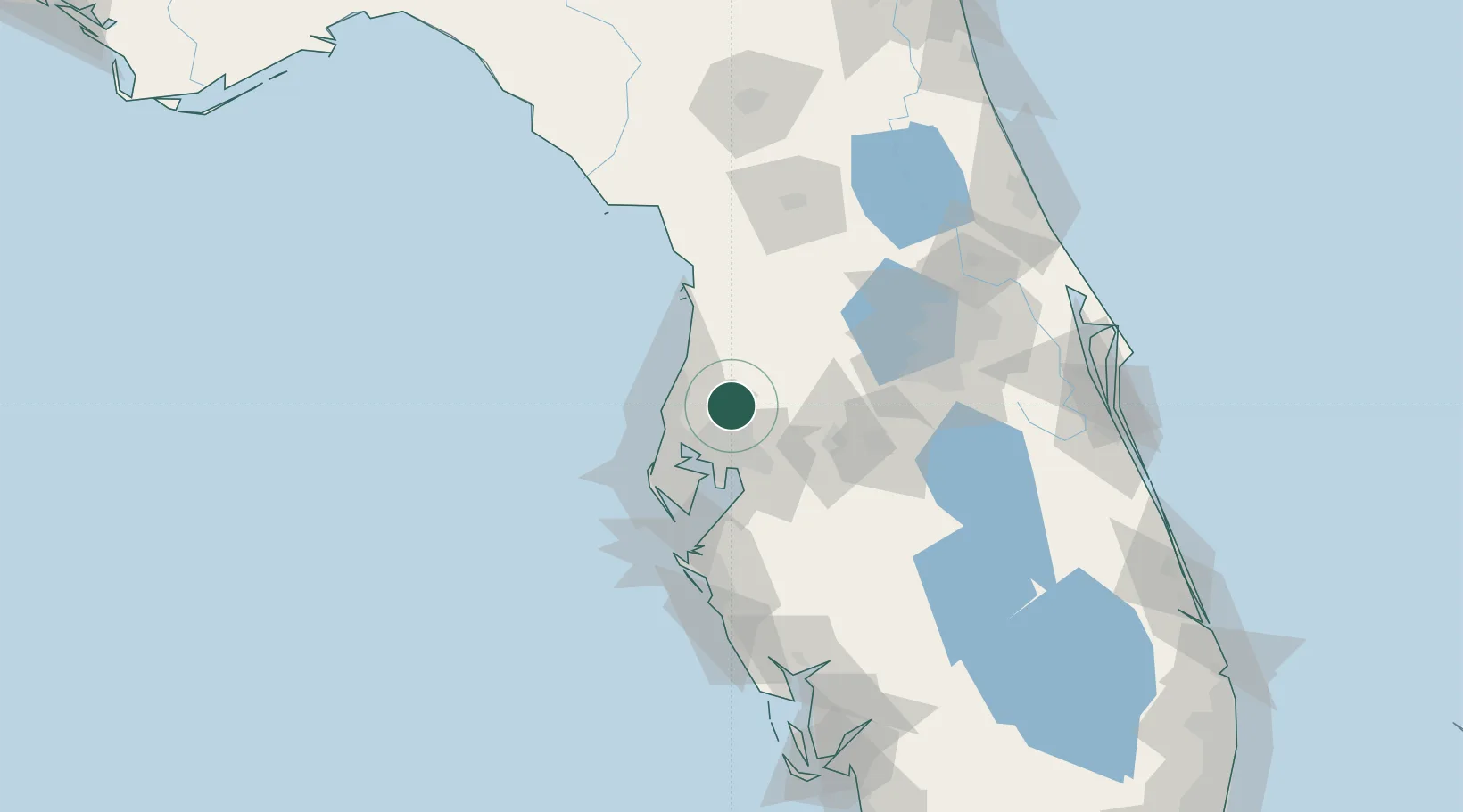
Land O'Lakes
28.2167°, -82.4500°
31,996
Population
2
Transport functions
Transport Functions
Port
Multimodal
Hub Profile
Place type
Populated place
Region
Florida
Population
31,996
Time zone
America/New_York
Elevation
23 m
Location
Nearby Logistics Neighbours
Cities
- 1Lutz7 km
- 2Saint Joseph23 km
- 3Hudson29 km
- 4Tampa30 km
- 5Tarpon Spings31 km
Ports
- 1Tarpon Springs32 km
- 2Tampa33 km
- 3Sankt-Peterburg53 km
- 4Port Manatee66 km
- 5Boca Grande169 km
Airports
Trade Zones
- 1FTZ No. 079 Tampa30 km
- 2FTZ No. 193 Pinellas County39 km
- 3FTZ No. 169 Manatee County92 km
- 4FTZ No. 042 Orlando97 km
- 5FTZ No. 136 Brevard County118 km
DatabookThe Record of Consolidated Knowledge
United States beyond logistics?