Medium airport · United States
Lakeland Linder International AirportKLAL
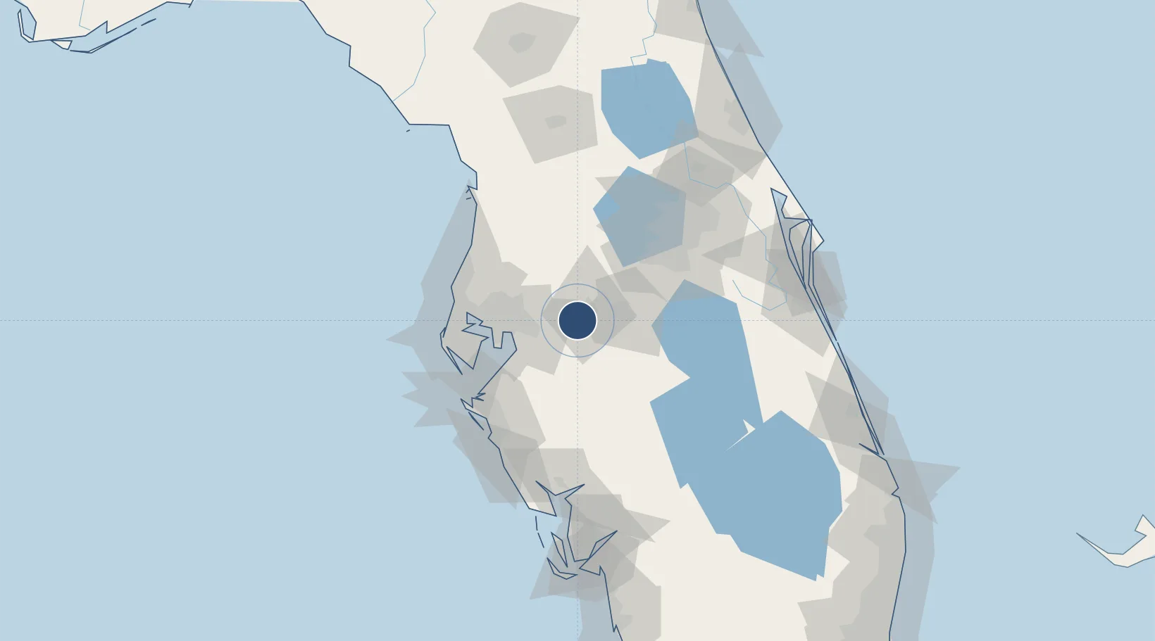
27.9893°, -82.0207°
8,500 ft
Longest runway
2
Runways
142 ft
Elevation
Runway & Layout

Radio Frequencies
ATIS
118.025 MHz
TWR
124.5 MHz
GND
121.4 MHz
CTAF
124.5 MHz
A/D
119.9 MHz
TAMPA APP/DEP
RDO
116 MHz
ST PETERSBURG RDO
UNIC
122.95 MHz
UNICOM
Navaids
LA NDB Wirey 227 kHz
LAL VORTAC Lakeland 116.00 MHz
Runways · 2
| Runway | Dimensions | Surface | True heading | Lit |
|---|---|---|---|---|
| 10/28 | 8,500 × 150ft | Asphalt | 090° | ✓ |
| 05/23 | 5,000 × 150ft | Asphalt | 045° | ✓ |
Airport Specifications
IATA code
LAL
ICAO code
KLAL
Airport class
Medium airport
Scheduled service
Yes
Runway surface
Asphalt
Served city
Lakeland
Location
Nearby Logistics Neighbours
Airports
Cities
- 1Highland City16 km
- 2Valrico23 km
- 3Seffner24 km
- 4Lake Garfield29 km
- 5Deland30 km
Ports
- 1Tampa43 km
- 2Sankt-Peterburg64 km
- 3Port Manatee67 km
- 4Tarpon Springs75 km
- 5Boca Grande147 km
Trade Zones
- 1FTZ No. 079 Tampa42 km
- 2FTZ No. 042 Orlando74 km
- 3FTZ No. 215 Sebring76 km
- 4FTZ No. 193 Pinellas County79 km
- 5FTZ No. 136 Brevard County84 km
DatabookThe Record of Consolidated Knowledge
United States beyond logistics?