Seaport · Russia
Sankt-PeterburgRULED
27.7667°, -82.6167°
4.9 m
Channel depth
7
Container terminals
177.5
Port liner connectivity
Channel & Berth Profile
Pilotage, Tugs & Services
Pilotage compulsoryYES
Pilotage availableYES
Tug assistanceYES
Shore powerYES
Potable waterYES
Diesel bunkersYES
MedicalYES
Garbage disposalYES
Facilities & Capabilities
ContainerYES
Ro-RoYES
Liquid bulkYES
Dry bulkYES
Oil terminalNO
Break bulkYES
Dry dock—
RepairsNO
BunkeringYES
Rail linkYES
Dangerous cargo—
ISPS security—
Harbour Specifications
Harbour size
Large
Harbour type
Coastal (Breakwater)
Shelter
Good
Water body
Gulf of Finland; Baltic Sea; North Atlantic Ocean
Tidal range
1 m
Overhead limit
Yes
Pilotage
Yes
Liner Connectivity
177.5
PLSCI
Port Liner Shipping Connectivity Index for Sankt-Peterburg, as published by UNCTAD for the latest available quarter. Higher values indicate stronger scheduled liner-shipping integration.
Shown relative to the highest per-port PLSCI in the dataset (1,657.9).
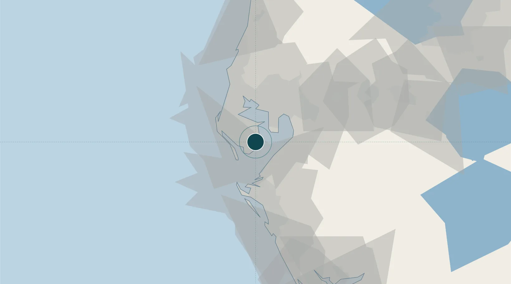
Location
Container Terminals · 7
MSCC PORT BRONKA
BRONKA MULTIPURPOSE SEA CARGO COMPLEX (MSCC) BRONKA
CONTAINER TERMINAL SAINT-PETERSBURG (CTSP)
CTSP
FIRST CONTAINER TERMINAL (FCT)
FCT FIRST CONTAINER TERMINAL
MOBY DIK TERMINAL KRONSHTADT
MOD MOBY DIK CO. LTD.
NEVA METAL TERMINAL (NMT)
NVM NEVA METAL
PETROLESPORT TERMINAL
PLP PETROLESPORT
SEA FISHING PORT TERMINAL
SFP SEA FISHING PORT
Nearby Logistics Neighbours
Ports
- 1Port Manatee16 km
- 2Tampa23 km
- 3Tarpon Springs45 km
- 4Boca Grande122 km
- 5Canaveral Harbor222 km
Cities
- 1Saint Petersburg7 km
- 2Pinellas Park12 km
- 3Saint Pete Beach13 km
- 4Port Manatee16 km
- 5Madeira Beach17 km
Airports
Trade Zones
- 1FTZ No. 079 Tampa27 km
- 2FTZ No. 169 Manatee County39 km
- 3FTZ No. 193 Pinellas County40 km
- 4FTZ No. 215 Sebring112 km
- 5FTZ No. 042 Orlando135 km
DatabookThe Record of Consolidated Knowledge
Russia beyond logistics?