Large airport · United States
Tampa International AirportKTPA
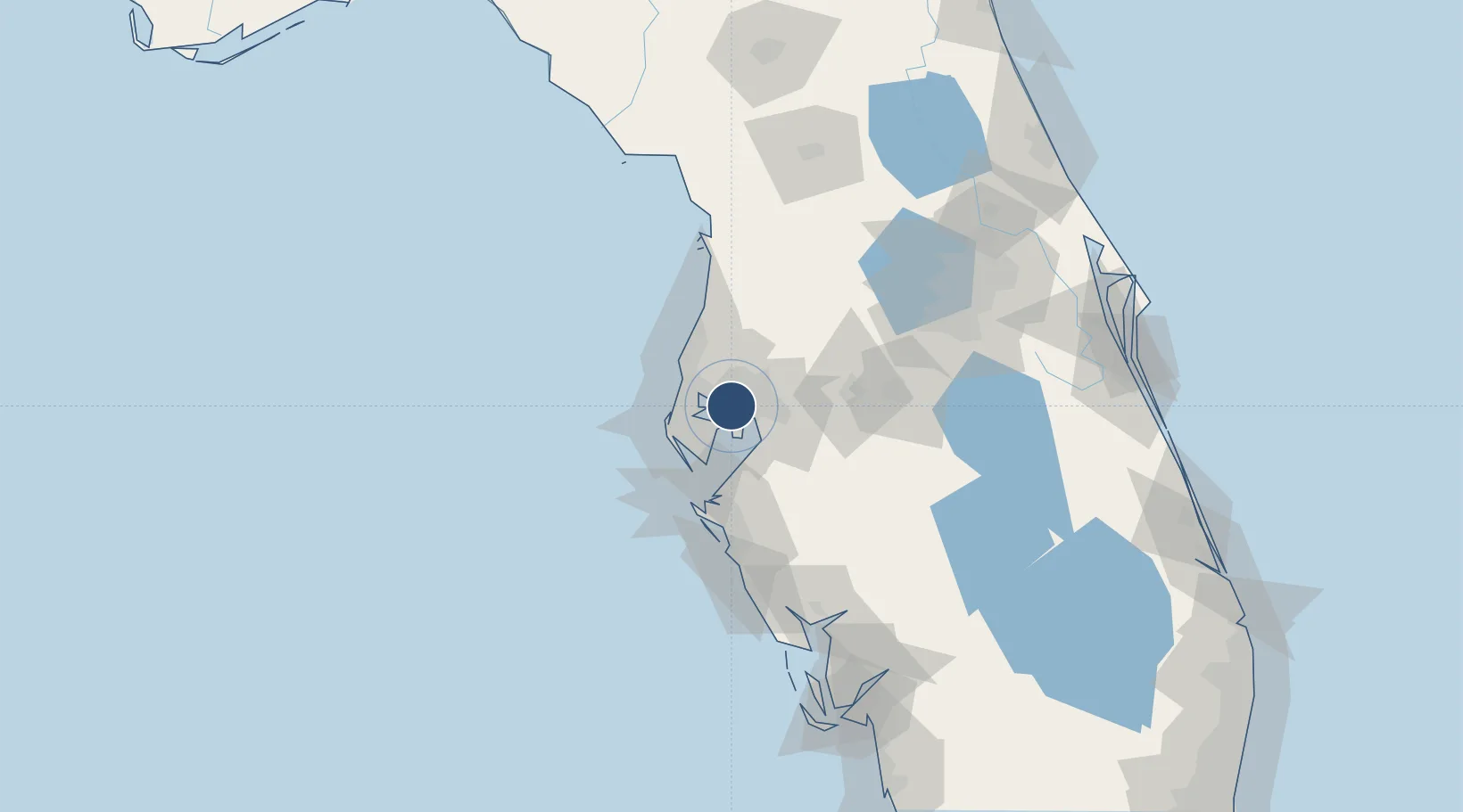
27.9755°, -82.5332°
11,002 ft
Longest runway
3
Runways
26 ft
Elevation
Runway & Layout

Radio Frequencies
ATIS
126.45 MHz
TWR
119.5 MHz
GND
121.7 MHz
CLD
133.6 MHz
CLNC DEL
A/D
118.15 MHz
APP/DEP
UNIC
122.95 MHz
UNICOM
Navaids
TP NDB Cosme 368 kHz
Runways · 3
| Runway | Dimensions | Surface | True heading | Lit |
|---|---|---|---|---|
| 19R/01L | 11,002 × 150ft | Concrete | 182° | ✓ |
| 19L/01R | 8,300 × 150ft | Asphalt / concrete | 182° | ✓ |
| 10/28 | 6,999 × 150ft | Asphalt / concrete | 092° | ✓ |
Airport Specifications
IATA code
TPA
ICAO code
KTPA
Airport class
Large airport
Scheduled service
Yes
Runway surface
Concrete
Served city
Tampa
Location
Nearby Logistics Neighbours
Airports
Cities
- 1Tampa13 km
- 2Lutz21 km
- 3Pinellas Park24 km
- 4Riverview25 km
- 5Seffner26 km
Ports
- 1Tampa11 km
- 2Sankt-Peterburg25 km
- 3Tarpon Springs30 km
- 4Port Manatee38 km
- 5Boca Grande143 km
Trade Zones
- 1FTZ No. 079 Tampa9 km
- 2FTZ No. 193 Pinellas County30 km
- 3FTZ No. 169 Manatee County64 km
- 4FTZ No. 215 Sebring114 km
- 5FTZ No. 042 Orlando115 km
DatabookThe Record of Consolidated Knowledge
United States beyond logistics?