Transport Functions
Port
Rail
Road
Multimodal
Hub Profile
Place type
Populated place
Region
Florida
Population
19,344
Time zone
America/New_York
Elevation
21 m
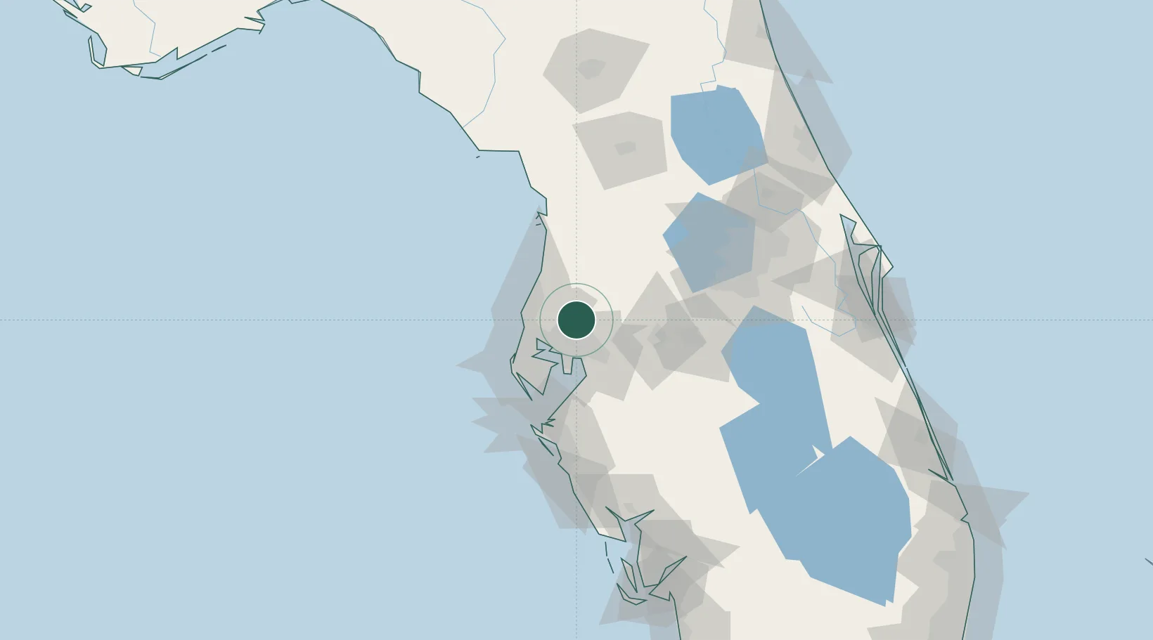
Location
Nearby Logistics Neighbours
Cities
- 1Land O'Lakes7 km
- 2Tampa23 km
- 3Seffner26 km
- 4Saint Joseph29 km
- 5Tarpon Spings30 km
Ports
- 1Tampa26 km
- 2Tarpon Springs31 km
- 3Sankt-Peterburg46 km
- 4Port Manatee59 km
- 5Boca Grande162 km
Airports
Trade Zones
- 1FTZ No. 079 Tampa22 km
- 2FTZ No. 193 Pinellas County36 km
- 3FTZ No. 169 Manatee County85 km
- 4FTZ No. 042 Orlando99 km
- 5FTZ No. 215 Sebring118 km
DatabookThe Record of Consolidated Knowledge
United States beyond logistics?