Seaport · United States
Port ManateeUSPME
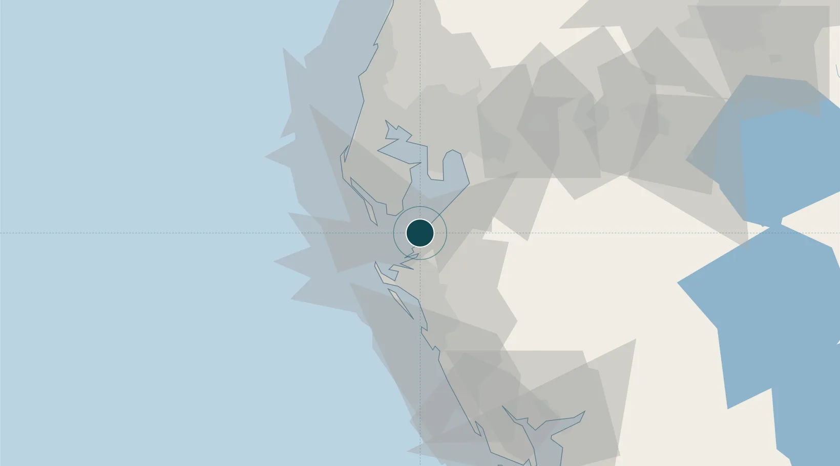
27.6333°, -82.5667°
11.0 m
Channel depth
1
Container terminals
22.7
Port liner connectivity
Channel & Berth Profile
Pilotage, Tugs & Services
Pilotage availableYES
Local assistanceYES
Shore powerYES
Potable waterYES
Facilities & Capabilities
Container—
Ro-Ro—
Liquid bulk—
Dry bulk—
Oil terminal—
Break bulk—
Dry dockNO
RepairsNO
Bunkering—
Rail linkYES
Dangerous cargo—
ISPS security—
Harbour Specifications
Harbour size
Small
Harbour type
Coastal (Tide Gates)
Water body
Gulf of Mexico; North Atlantic Ocean
Liner Connectivity
22.7
PLSCI
Port Liner Shipping Connectivity Index for Port Manatee, as published by UNCTAD for the latest available quarter. Higher values indicate stronger scheduled liner-shipping integration.
Shown relative to the highest per-port PLSCI in the dataset (1,657.9).
Location
Container Terminals · 1
PORT MANATEE TERMINAL
PMT SEAPORT MANATEE
Nearby Logistics Neighbours
Ports
- 1Sankt-Peterburg16 km
- 2Tampa34 km
- 3Tarpon Springs61 km
- 4Boca Grande106 km
- 5Fort Pierce223 km
Cities
- 1Memphis11 km
- 2Saint Petersburg19 km
- 3Saint Pete Beach19 km
- 4Bradenton Beach23 km
- 5Pinellas Park27 km
Airports
Trade Zones
- 1FTZ No. 169 Manatee County27 km
- 2FTZ No. 079 Tampa37 km
- 3FTZ No. 193 Pinellas County56 km
- 4FTZ No. 215 Sebring104 km
- 5FTZ No. 213 Fort Myers131 km
DatabookThe Record of Consolidated Knowledge
United States beyond logistics?