Transport Functions
Rail
Road
Hub Profile
Place type
Populated place
Region
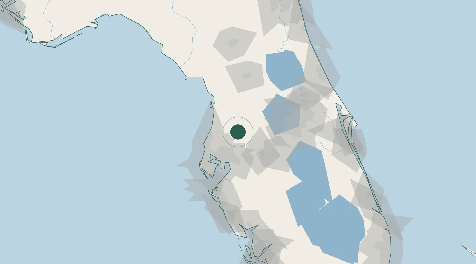
Florida
Time zone
America/New_York
Elevation
67 m
Location
Nearby Logistics Neighbours
Cities
- 1Land O'Lakes23 km
- 2Lutz29 km
- 3Webster35 km
- 4Bushnell36 km
- 5Hudson41 km
Ports
- 1Tampa53 km
- 2Tarpon Springs53 km
- 3Sankt-Peterburg74 km
- 4Port Manatee86 km
- 5Canaveral Harbor167 km
Airports
Trade Zones
- 1FTZ No. 079 Tampa49 km
- 2FTZ No. 193 Pinellas County61 km
- 3FTZ No. 042 Orlando77 km
- 4FTZ No. 250 Seminole County99 km
- 5FTZ No. 136 Brevard County102 km
DatabookThe Record of Consolidated Knowledge
United States beyond logistics?