UN/LOCODE hub · United States
USTPA
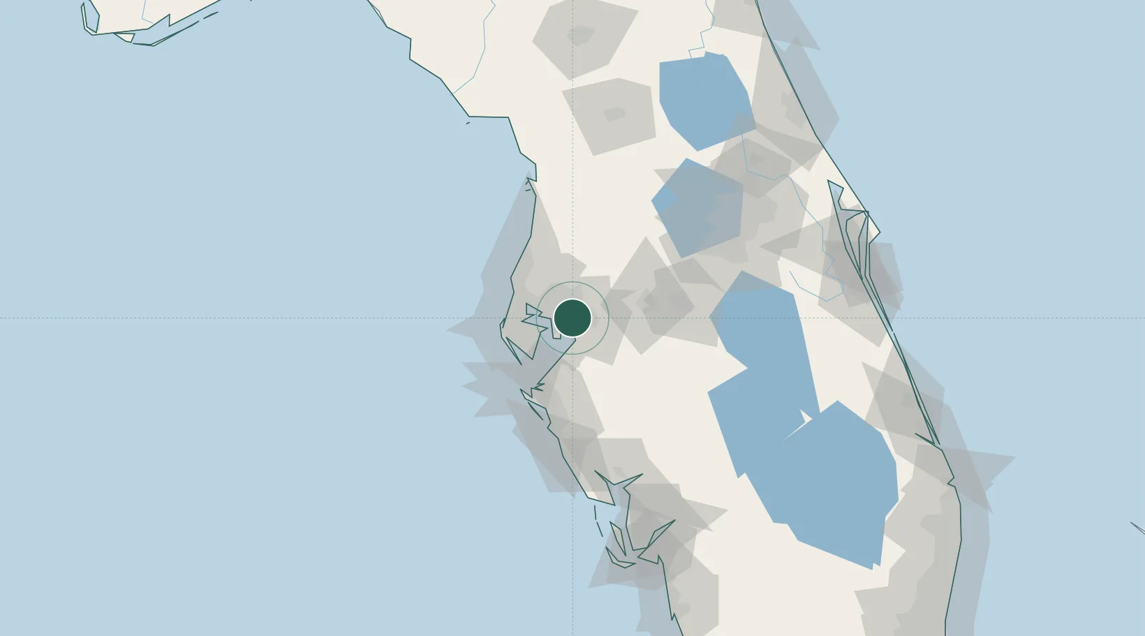
Tampa
27.9482°, -82.4086°
414,547
Population
3
Transport functions
1
Container terminals
Transport Functions
Port
Airport
Postal
Hub Profile
Place type
Provincial seat
Region
Florida
Population
414,547
Time zone
America/New_York
Elevation
1 m
Logistics facilities
23
Container terminals
1
Location
Nearby Logistics Neighbours
Cities
- 1Riverview14 km
- 2Seffner15 km
- 3Valrico16 km
- 4Lutz23 km
- 5Land O'Lakes30 km
Ports
- 1Sankt-Peterburg29 km
- 2Port Manatee38 km
- 3Tarpon Springs42 km
- 4Boca Grande139 km
- 5Canaveral Harbor194 km
Airports
Trade Zones
- 1FTZ No. 079 Tampa4 km
- 2FTZ No. 193 Pinellas County43 km
- 3FTZ No. 169 Manatee County66 km
- 4FTZ No. 215 Sebring102 km
- 5FTZ No. 042 Orlando106 km
DatabookThe Record of Consolidated Knowledge
United States beyond logistics?