Large airport · United States
Sarasota Bradenton International AirportKSRQ
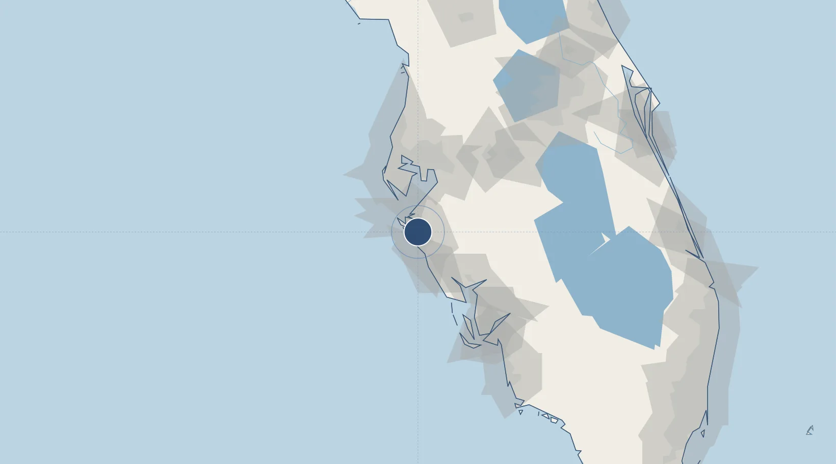
27.3946°, -82.5544°
9,500 ft
Longest runway
2
Runways
30 ft
Elevation
Runway & Layout

Radio Frequencies
ATIS
134.15 MHz
ASOS
134.15 MHz
TWR
120.1 MHz
GND
121.9 MHz
CLD
118.25 MHz
CLNC DEL
CTAF
120.1 MHz
A/D
119.65 MHz
TAMPA APP/DEP
RDO
115.2 MHz
ST PETERSBURG RDO
UNIC
122.95 MHz
UNICOM
Navaids
SR NDB Ringy 245 kHz
SRQ VORTAC Sarasota 115.20 MHz
Runways · 2
| Runway | Dimensions | Surface | True heading | Lit |
|---|---|---|---|---|
| 14/32 | 9,500 × 150ft | Asphalt | 134° | ✓ |
| 04/22 | 5,006 × 150ft | Asphalt | 038° | ✓ |
Airport Specifications
IATA code
SRQ
ICAO code
KSRQ
Airport class
Large airport
Scheduled service
Yes
Runway surface
Asphalt
Served city
Sarasota/Bradenton
Location
Nearby Logistics Neighbours
Airports
Cities
- 1Sarasota7 km
- 2Longboat Key10 km
- 3Memphis15 km
- 4Bradenton Beach17 km
- 5Port Manatee26 km
Ports
- 1Port Manatee27 km
- 2Sankt-Peterburg42 km
- 3Tampa59 km
- 4Boca Grande80 km
- 5Tarpon Springs87 km
Trade Zones
- 1FTZ No. 169 Manatee County17 km
- 2FTZ No. 079 Tampa63 km
- 3FTZ No. 193 Pinellas County81 km
- 4FTZ No. 215 Sebring102 km
- 5FTZ No. 213 Fort Myers108 km
DatabookThe Record of Consolidated Knowledge
United States beyond logistics?