Medium airport · United States

MacDill Air Force BaseKMCF
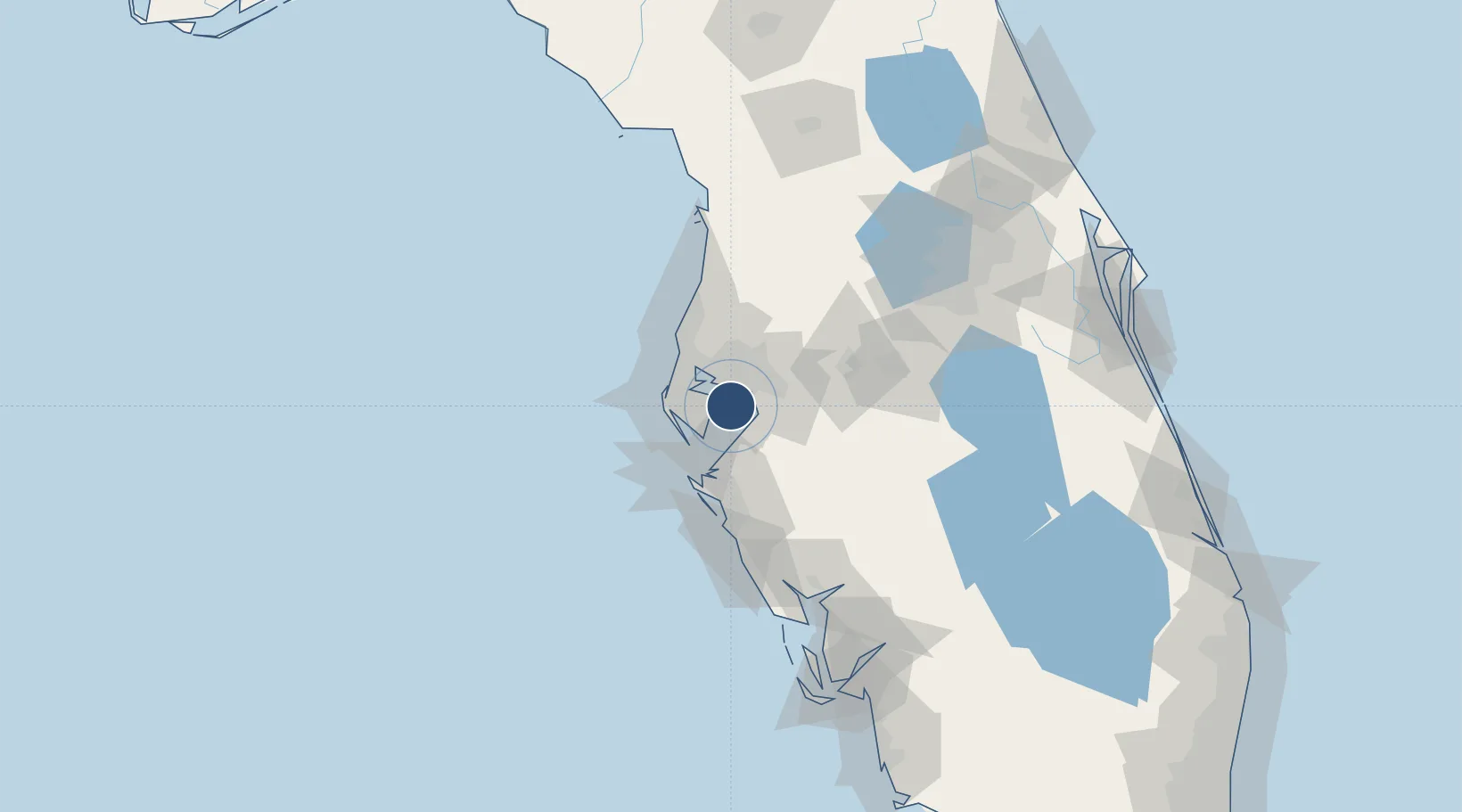
27.8493°, -82.5212°
11,421 ft
Longest runway
1
Runways
14 ft
Elevation

Runway & Layout

MacDill Air Force Base runway & taxiway layout
Runway & taxiway layout — OpenStreetMap (ODbL) / OurAirports

Radio Frequencies

ATIS
133.825 MHz
TWR
123.7 MHz
GND
118.575 MHz
APP
124.95 MHz
TAMPA APP
DEP
119.65 MHz
TAMPA DEP
PMSV
34.46 MHz
PMSV METRO
POST
138.95 MHz
6 AMW COMD POST
PTD
37.22 MHz
OurAirports

Navaids

MCF TACAN Macdill 111.00 MHz
OurAirports

Runways · 1

RunwayDimensions SurfaceTrue headingLit
04/22 11,421 × 151ft Asphalt 040°
OurAirports

Airport Specifications

IATA code
MCF
OurAirports
ICAO code
KMCF
OurAirports
Airport class
Medium airport
OurAirports
Scheduled service
No
OurAirports
Runway surface
Asphalt
OurAirports
Served city
Tampa
OurAirports

Location

Location of KMCF
Natural Earth 10m (public domain) · Florida · KMCF · 27.85, -82.52GoogleOSMYandex

Nearby Logistics Neighbours

Airports
  1. 1Tampa International Airport14 km
  2. 2St. Petersburg Clearwater International Airport18 km
  3. 3Sarasota Bradenton International Airport51 km
  4. 4Lakeland Linder International Airport52 km
  5. 5Punta Gorda Airport116 km
Nearest neighbours — logibook spatial index (haversine) over the source coordinates
Cities
  1. 1Tampa16 km
  2. 2Saint Petersburg18 km
  3. 3Pinellas Park19 km
  4. 4Riverview20 km
  5. 5Port Manatee25 km
Nearest neighbours — logibook spatial index (haversine) over the source coordinates
Ports
  1. 1Tampa10 km
  2. 2Sankt-Peterburg13 km
  3. 3Port Manatee24 km
  4. 4Tarpon Springs41 km
  5. 5Boca Grande129 km
Nearest neighbours — logibook spatial index (haversine) over the source coordinates
Trade Zones
  1. 1FTZ No. 079 Tampa14 km
  2. 2FTZ No. 193 Pinellas County39 km
  3. 3FTZ No. 169 Manatee County51 km
  4. 4FTZ No. 215 Sebring107 km
  5. 5FTZ No. 042 Orlando122 km
Nearest neighbours — logibook spatial index (haversine) over the source coordinates
DatabookThe Record of Consolidated Knowledge
United States beyond logistics?
Browse databook

All Sources

AirportsOurAirports
Public domain
Portsthe NGA World Port Index
Public domain (US gov)
LocationsUN/LOCODE
UN/LOCODE — free
Trade Zonesthe World Bank SEZ database
CC BY 4.0
Trade ZonesOpen Zone Map
CC BY
InfrastructureOpenStreetMap
ODbL 1.0
← United States airports