Transport Functions
Multimodal
Hub Profile
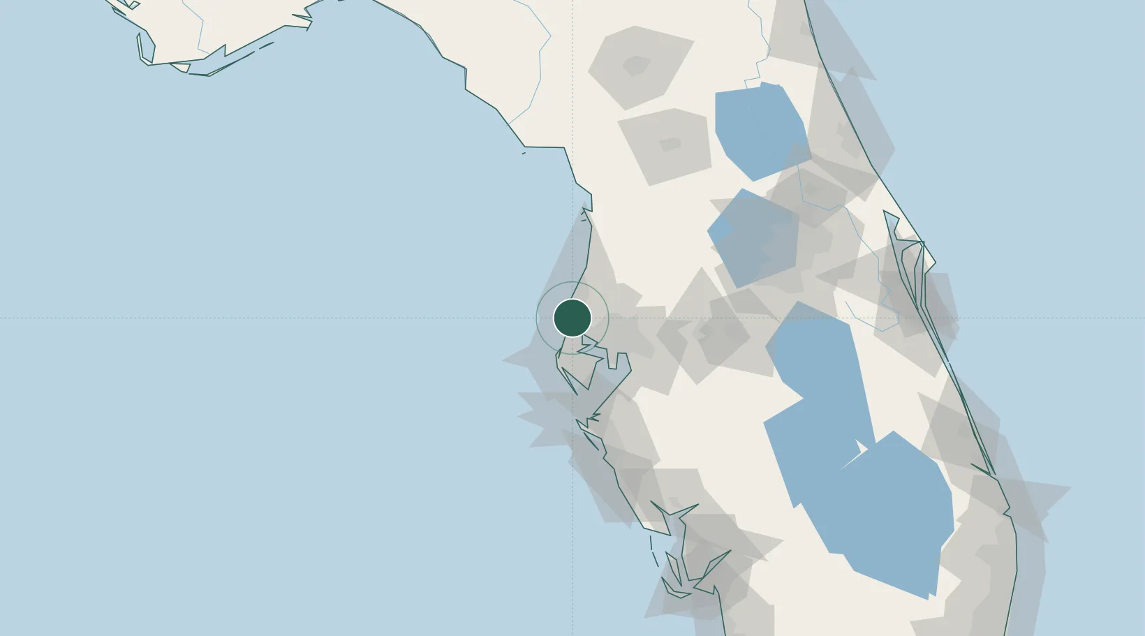
Region
FL
Location
Nearby Logistics Neighbours
Cities
- 1Hudson25 km
- 2Lutz30 km
- 3Land O'Lakes31 km
- 4Pinellas Park34 km
- 5Seminole34 km
Ports
- 1Tarpon Springs3 km
- 2Tampa38 km
- 3Sankt-Peterburg43 km
- 4Port Manatee58 km
- 5Boca Grande165 km
Airports
Trade Zones
- 1FTZ No. 193 Pinellas County8 km
- 2FTZ No. 079 Tampa36 km
- 3FTZ No. 169 Manatee County79 km
- 4FTZ No. 042 Orlando128 km
- 5FTZ No. 215 Sebring141 km
DatabookThe Record of Consolidated Knowledge
United States beyond logistics?