Foreign Trade Zone · United States

FTZ No. 169 Manatee County Active
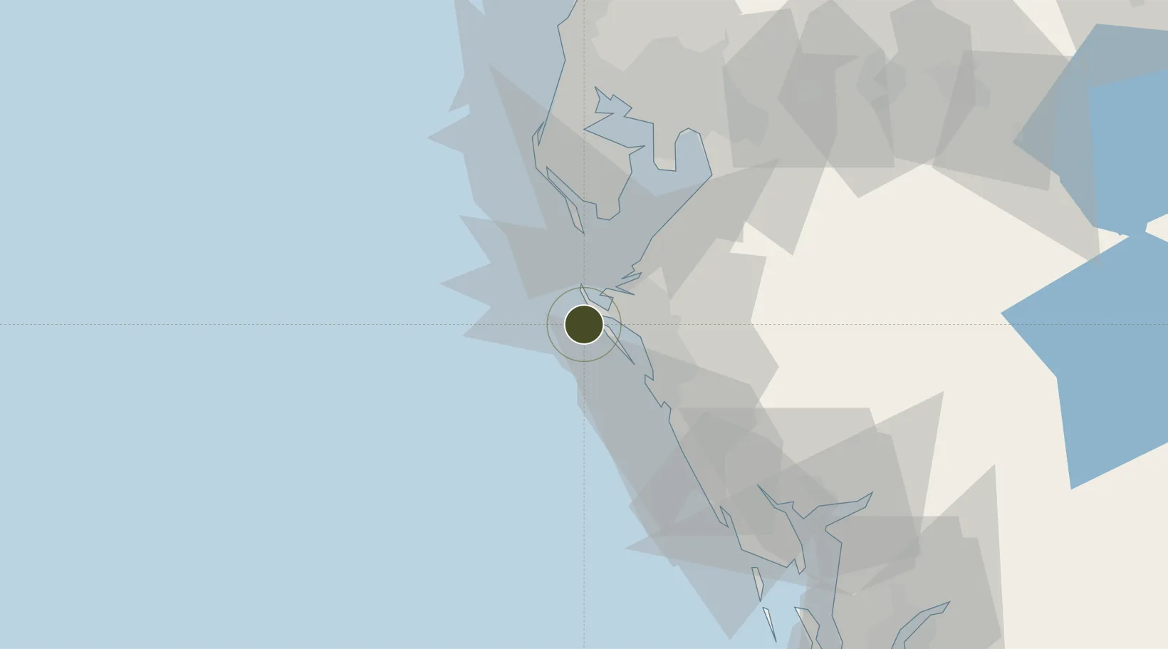
27.4269°, -82.7189°
27.4 km
Nearest port
16.6 km
Nearest airport

Gateway access

Nearest neighbours — logibook spatial index (haversine) over the source coordinates

Zone profile

Zone type
Foreign Trade Zone
Open Zone Map
Region
Florida
Open Zone Map
Status
Active
Open Zone Map
Management
Public
Open Zone Map
Operator
Manatee County Port Authority
Open Zone Map
Legal framework
Foreign-Trade Zones Act
Open Zone Map

Location

Location of ozm-4784
Natural Earth 10m (public domain) · Florida · ozm-4784 · 27.43, -82.72GoogleOSMYandex

Nearby Logistics Neighbours

Ports
  1. 1Port Manatee27 km
  2. 2Sankt-Peterburg39 km
  3. 3Tampa61 km
  4. 4Tarpon Springs81 km
  5. 5Boca Grande89 km
Nearest neighbours — logibook spatial index (haversine) over the source coordinates
Airports
  1. 1Sarasota Bradenton International Airport17 km
  2. 2MacDill Air Force Base51 km
  3. 3St. Petersburg Clearwater International Airport54 km
  4. 4Tampa International Airport64 km
  5. 5Punta Gorda Airport92 km
Nearest neighbours — logibook spatial index (haversine) over the source coordinates
Cities
  1. 1Bradenton Beach5 km
  2. 2Longboat Key7 km
  3. 3Memphis20 km
  4. 4Sarasota21 km
  5. 5Port Manatee27 km
Nearest neighbours — logibook spatial index (haversine) over the source coordinates
Trade Zones
  1. 1FTZ No. 079 Tampa64 km
  2. 2FTZ No. 193 Pinellas County74 km
  3. 3FTZ No. 215 Sebring118 km
  4. 4FTZ No. 213 Fort Myers121 km
  5. 5FTZ No. 042 Orlando167 km
Nearest neighbours — logibook spatial index (haversine) over the source coordinates
DatabookThe Record of Consolidated Knowledge
United States beyond logistics?
Browse databook

All Sources

Trade ZonesOpen Zone Map
CC BY
Portsthe NGA World Port Index
Public domain (US gov)
AirportsOurAirports
Public domain
LocationsUN/LOCODE
UN/LOCODE — free
← United States trade zones