Large airport · United States
St. Petersburg Clearwater International AirportKPIE
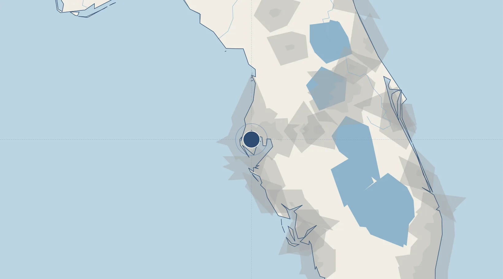
27.9102°, -82.6874°
9,730 ft
Longest runway
2
Runways
11 ft
Elevation
Runway & Layout

Radio Frequencies
ATIS
134.5 MHz
TWR
118.3 MHz
GND
121.9 MHz
CLD
120.6 MHz
CLNC DEL
CTAF
118.3 MHz
A/D
125.3 MHz
TAMPA APP/DEP
MISC
38.18 MHz
AIR CG
RDO
122.1 MHz
RDO
122.2 MHz
UNIC
122.95 MHz
UNICOM
Navaids
PI NDB Capok 360 kHz
PIE VORTAC St Petersburg 116.40 MHz
Runways · 2
| Runway | Dimensions | Surface | True heading | Lit |
|---|---|---|---|---|
| 18/36 | 9,730 × 150ft | concrete | 171° | ✓ |
| 04/22 | 6,000 × 150ft | Asphalt | 040° | ✓ |
Airport Specifications
IATA code
PIE
ICAO code
KPIE
Airport class
Large airport
Scheduled service
Yes
Runway surface
concrete
Served city
Pinellas Park
Location
Nearby Logistics Neighbours
Airports
Cities
- 1Pinellas Park9 km
- 2Seminole13 km
- 3Saint Petersburg16 km
- 4Madeira Beach17 km
- 5Saint Pete Beach22 km
Ports
- 1Sankt-Peterburg17 km
- 2Tampa23 km
- 3Tarpon Springs28 km
- 4Port Manatee33 km
- 5Boca Grande139 km
Trade Zones
- 1FTZ No. 193 Pinellas County23 km
- 2FTZ No. 079 Tampa24 km
- 3FTZ No. 169 Manatee County54 km
- 4FTZ No. 215 Sebring124 km
- 5FTZ No. 042 Orlando132 km
DatabookThe Record of Consolidated Knowledge
United States beyond logistics?