UN/LOCODE hub · United States
USHSF

Hudson

28.3500°, -82.7000°
12,158
Population
2
Transport functions

Transport Functions

Port
Road
UN/LOCODE

Hub Profile

Place type
Populated place
GeoNames
Region
Florida
GeoNames
Population
12,158
GeoNames
Time zone
America/New_York
GeoNames
Elevation
3 m
GeoNames

Location

Location of USHSF
Natural Earth 10m (public domain) · Florida · USHSF · 28.35, -82.70GoogleOSMYandex

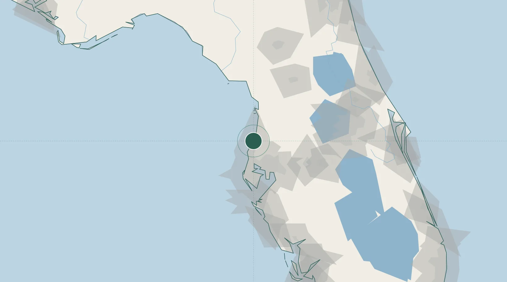
Nearby Logistics Neighbours

Cities
  1. 1Tarpon Spings25 km
  2. 2Land O'Lakes29 km
  3. 3Lutz33 km
  4. 4Saint Joseph41 km
  5. 5Tampa53 km
Nearest neighbours — logibook spatial index (haversine) over the source coordinates
Ports
  1. 1Tarpon Springs23 km
  2. 2Tampa54 km
  3. 3Sankt-Peterburg65 km
  4. 4Port Manatee81 km
  5. 5Boca Grande187 km
Nearest neighbours — logibook spatial index (haversine) over the source coordinates
Airports
  1. 1Tampa International Airport45 km
  2. 2St. Petersburg Clearwater International Airport49 km
  3. 3MacDill Air Force Base58 km
  4. 4Lakeland Linder International Airport78 km
  5. 5Leesburg International Airport102 km
Nearest neighbours — logibook spatial index (haversine) over the source coordinates
Trade Zones
  1. 1FTZ No. 193 Pinellas County31 km
  2. 2FTZ No. 079 Tampa51 km
  3. 3FTZ No. 169 Manatee County103 km
  4. 4FTZ No. 042 Orlando117 km
  5. 5FTZ No. 250 Seminole County138 km
Nearest neighbours — logibook spatial index (haversine) over the source coordinates
DatabookThe Record of Consolidated Knowledge
United States beyond logistics?
Browse databook

All Sources

LocationsUN/LOCODE
UN/LOCODE — free
LocationsGeoNames
CC BY 4.0
Portsthe NGA World Port Index
Public domain (US gov)
AirportsOurAirports
Public domain
Trade Zonesthe World Bank SEZ database
CC BY 4.0
Trade ZonesOpen Zone Map
CC BY
← United States locations