Seaplane base · United States
Moser Bay Seaplane BaseKMY
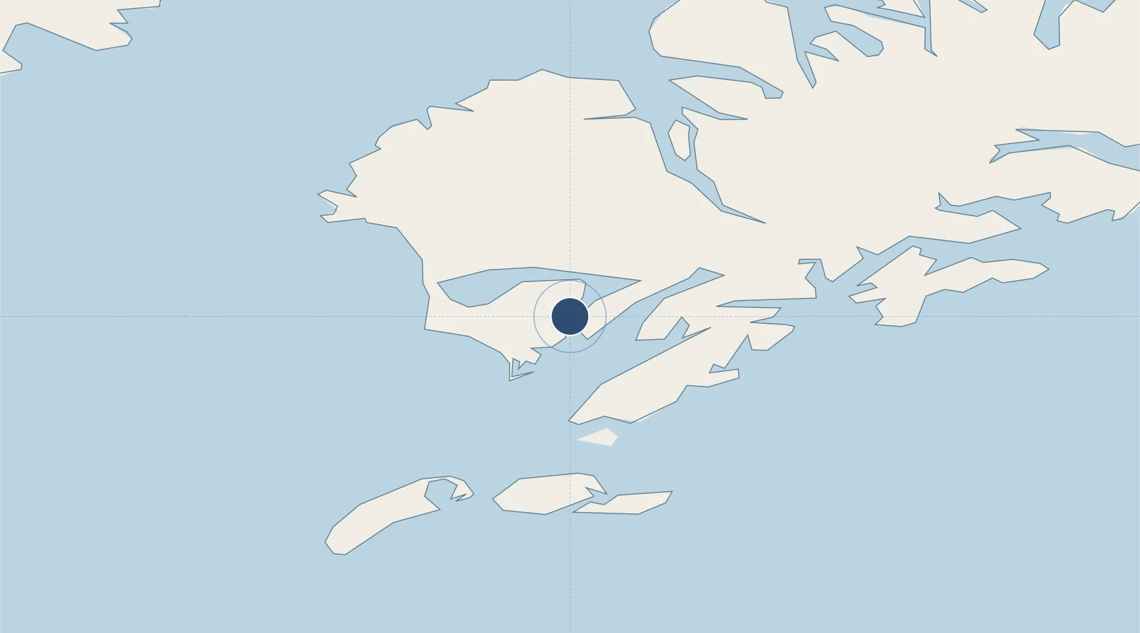
57.0256°, -154.1460°
10,000 ft
Longest runway
1
Runways
Runway & Layout
Runways · 1
| Runway | Dimensions | Surface | True heading | Lit |
|---|---|---|---|---|
| N/S | 10,000 × 1000ft | WATER-E | — | — |
Airport Specifications
IATA code
KMY
Airport class
Seaplane base
Scheduled service
Yes
Runway surface
WATER-E
Served city
Moser Bay
Location
Nearby Logistics Neighbours
Airports
- 1Akhiok Airport10 km
- 2Alitak Seaplane Base16 km
- 3Olga Bay Seaplane Base16 km
- 4Amook Bay Seaplane Base53 km
- 5Old Harbor Airport57 km
Cities
- 1Kaguyak28 km
- 2Afognak136 km
- 3Jakolof Bay310 km
- 4Anchorage527 km
- 5Port MacKenzie529 km
Ports
- 1Larsen Bay57 km
- 2Mccord59 km
- 3Karluk63 km
- 4Uyak68 km
- 5Kodiak134 km
Trade Zones
- 1FTZ No. 232 Kodiak57 km
- 2FTZ No. 160 Anchorage528 km
- 3FTZ No. 108 Valdez637 km
- 4FTZ No. 195 Fairbanks935 km
- 5PrInce George Logistics Park1990 km
DatabookThe Record of Consolidated Knowledge
United States beyond logistics?