Small airport · United States
Akhiok AirportPAKH
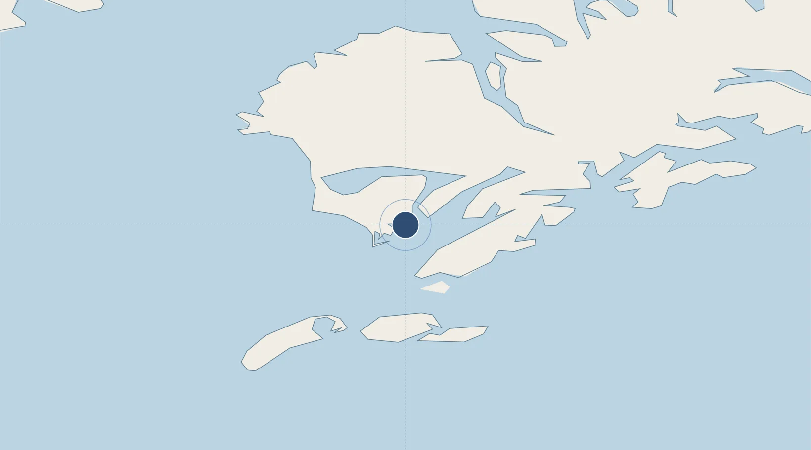
56.9387°, -154.1830°
3,120 ft
Longest runway
1
Runways
44 ft
Elevation
Runway & Layout

Runways · 1
| Runway | Dimensions | Surface | True heading | Lit |
|---|---|---|---|---|
| 04/22 | 3,120 × 50ft | GRAVEL-G | 062° | — |
Airport Specifications
IATA code
AKK
ICAO code
PAKH
Airport class
Small airport
Scheduled service
Yes
Runway surface
GRAVEL-G
Served city
Akhiok
Location
Nearby Logistics Neighbours
Airports
- 1Alitak Seaplane Base6 km
- 2Moser Bay Seaplane Base10 km
- 3Olga Bay Seaplane Base25 km
- 4Amook Bay Seaplane Base63 km
- 5Old Harbor Airport63 km
Cities
- 1Kaguyak26 km
- 2Afognak145 km
- 3Jakolof Bay320 km
- 4Anchorage537 km
- 5Port MacKenzie539 km
Ports
- 1Mccord64 km
- 2Larsen Bay67 km
- 3Karluk72 km
- 4Uyak78 km
- 5Kodiak142 km
Trade Zones
- 1FTZ No. 232 Kodiak67 km
- 2FTZ No. 160 Anchorage537 km
- 3FTZ No. 108 Valdez646 km
- 4FTZ No. 195 Fairbanks945 km
- 5PrInce George Logistics Park1993 km
DatabookThe Record of Consolidated Knowledge
United States beyond logistics?