Small airport · United States
Old Harbor AirportOLH
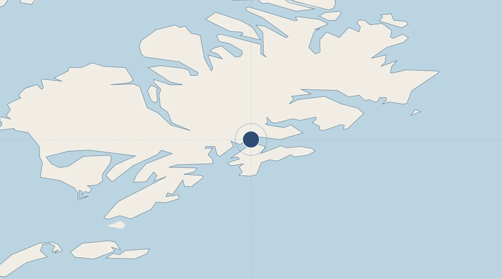
57.2181°, -153.2700°
2,750 ft
Longest runway
1
Runways
55 ft
Elevation
Runway & Layout

Runways · 1
| Runway | Dimensions | Surface | True heading | Lit |
|---|---|---|---|---|
| 03/21 | 2,750 × 60ft | GRAVEL-G | — | — |
Airport Specifications
IATA code
OLH
Airport class
Small airport
Scheduled service
Yes
Runway surface
GRAVEL-G
Served city
Old Harbor
Location
Nearby Logistics Neighbours
Airports
- 1Amook Bay Seaplane Base43 km
- 2Zachar Bay Seaplane Base47 km
- 3Larsen Bay Airport55 km
- 4Moser Bay Seaplane Base57 km
- 5San Juan /Uganik/ Seaplane Base57 km
Cities
- 1Kaguyak50 km
- 2Afognak92 km
- 3Jakolof Bay268 km
- 4Anchorage486 km
- 5Port MacKenzie489 km
Ports
- 1Mccord9 km
- 2Larsen Bay55 km
- 3Uyak64 km
- 4Karluk81 km
- 5Kodiak82 km
Trade Zones
- 1FTZ No. 232 Kodiak37 km
- 2FTZ No. 160 Anchorage487 km
- 3FTZ No. 108 Valdez586 km
- 4FTZ No. 195 Fairbanks899 km
- 5PrInce George Logistics Park1937 km
DatabookThe Record of Consolidated Knowledge
United States beyond logistics?