Seaplane base · United States
Alitak Seaplane BaseALZ
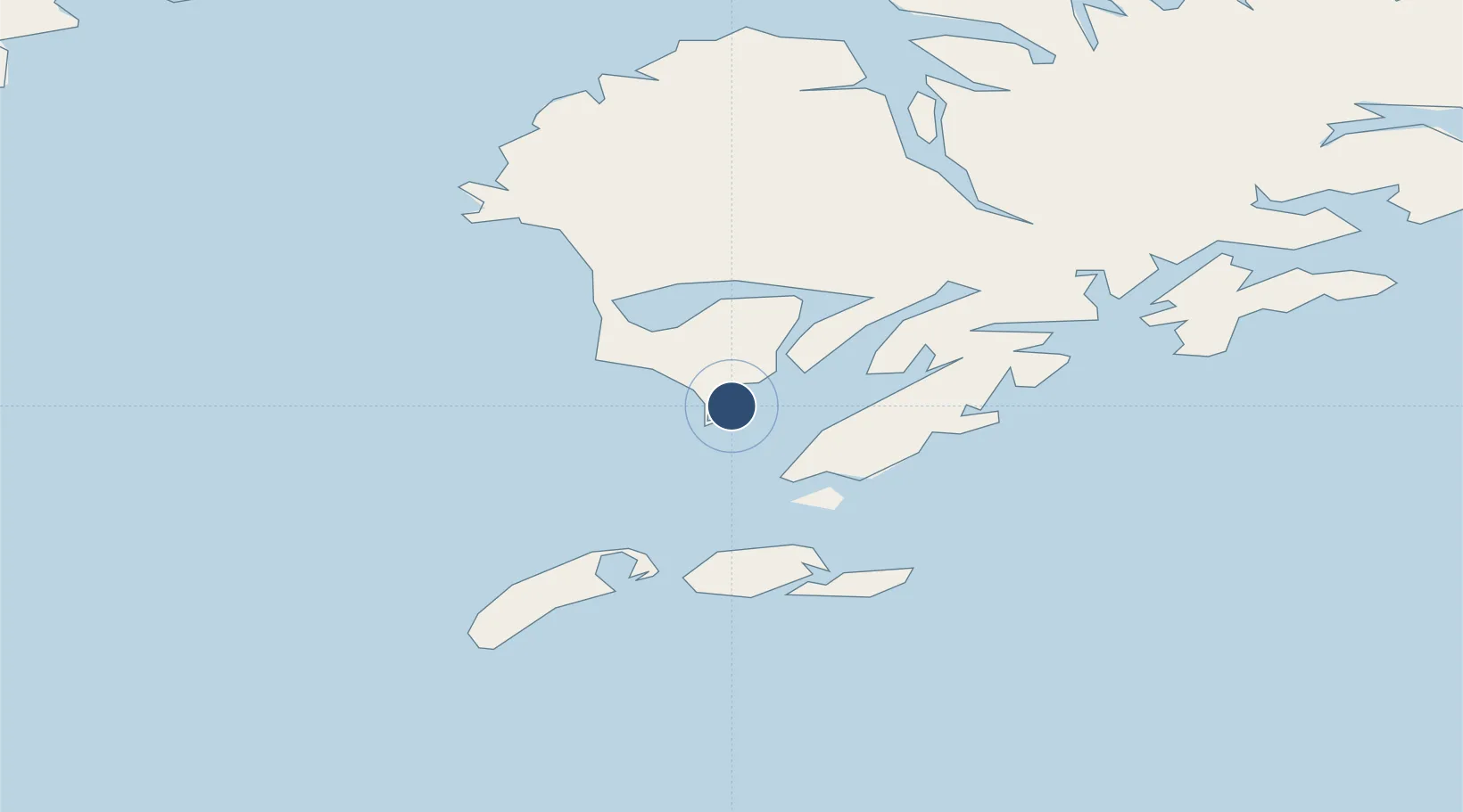
56.8973°, -154.2497°
10,000 ft
Longest runway
1
Runways
Runway & Layout

Runways · 1
| Runway | Dimensions | Surface | True heading | Lit |
|---|---|---|---|---|
| NE/SW | 10,000 × 1000ft | Water | — | — |
Airport Specifications
IATA code
ALZ
Airport class
Seaplane base
Scheduled service
Yes
Runway surface
Water
Served city
Lazy Bay
Location
Nearby Logistics Neighbours
Airports
- 1Akhiok Airport6 km
- 2Moser Bay Seaplane Base16 km
- 3Olga Bay Seaplane Base29 km
- 4Amook Bay Seaplane Base69 km
- 5Old Harbor Airport69 km
Cities
- 1Kaguyak29 km
- 2Afognak151 km
- 3Jakolof Bay326 km
- 4Anchorage543 km
- 5Lenard Harbour545 km
Ports
- 1Mccord70 km
- 2Larsen Bay73 km
- 3Karluk75 km
- 4Uyak83 km
- 5Kodiak148 km
Trade Zones
- 1FTZ No. 232 Kodiak73 km
- 2FTZ No. 160 Anchorage543 km
- 3FTZ No. 108 Valdez652 km
- 4FTZ No. 195 Fairbanks951 km
- 5PrInce George Logistics Park1998 km
DatabookThe Record of Consolidated Knowledge
United States beyond logistics?