UN/LOCODE hub · United States
USJVL
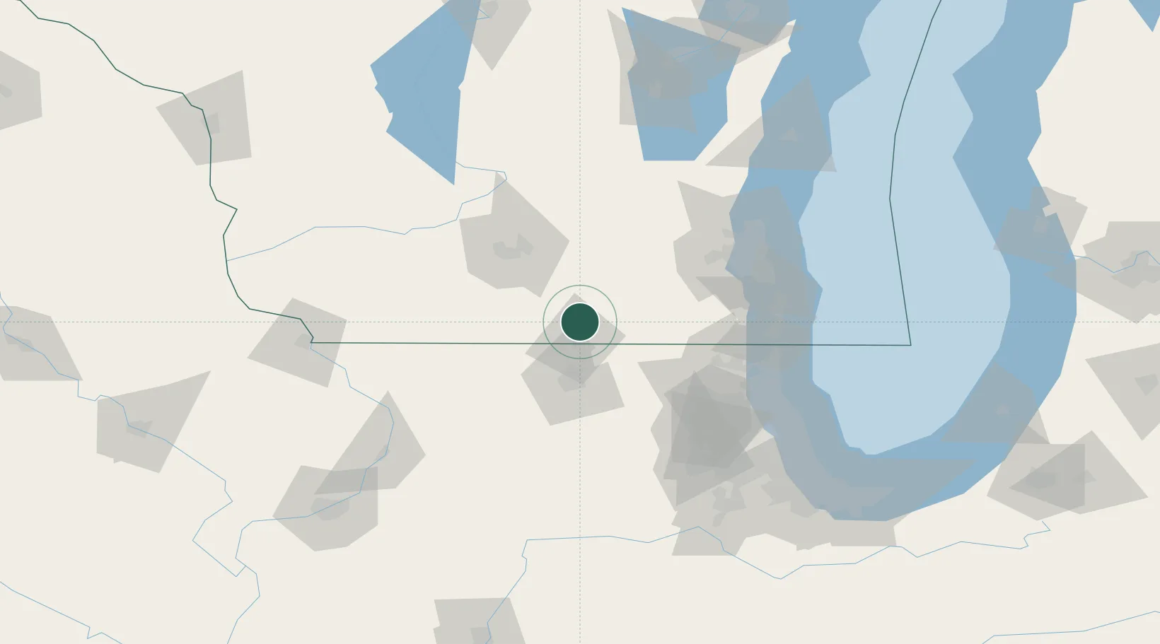
Janesville
42.6370°, -89.0160°
64,123
Population
4
Transport functions
Transport Functions
Port
Rail
Road
Airport
Hub Profile
Place type
Provincial seat
Region
Wisconsin
Population
64,123
Time zone
America/Chicago
Elevation
255 m
Logistics facilities
1
Location
Nearby Logistics Neighbours
Cities
- 1Beloit15 km
- 2Clinton16 km
- 3Richmond24 km
- 4Evansville26 km
- 5Darien26 km
Ports
- 1Kenosha98 km
- 2Racine101 km
- 3Milwaukee102 km
- 4Waukegan103 km
- 5Great Lakes104 km
Airports
Trade Zones
DatabookThe Record of Consolidated Knowledge
United States beyond logistics?