Transport Functions
Port
Road
Hub Profile
Place type
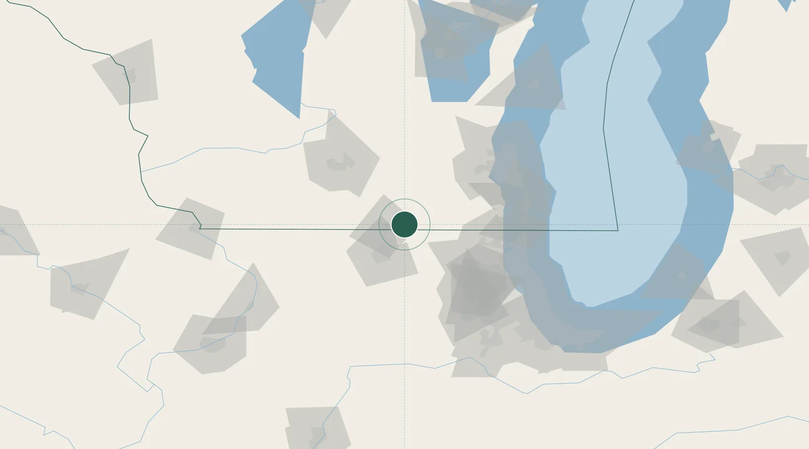
Populated place
Region
Wisconsin
Population
2,140
Time zone
America/Chicago
Elevation
293 m
Location
Nearby Logistics Neighbours
Cities
- 1Sharon14 km
- 2Darien15 km
- 3Beloit15 km
- 4Janesville16 km
- 5Richmond21 km
Ports
- 1Kenosha86 km
- 2Waukegan89 km
- 3Great Lakes89 km
- 4Racine91 km
- 5Milwaukee97 km
Airports
Trade Zones
- 1FTZ No. 176 Rockford43 km
- 2FTZ No. 041 Milwaukee84 km
- 3FTZ No. 292 Lake County84 km
- 4FTZ No. 266 Dane County89 km
- 5FTZ No. 022 Chicago114 km
DatabookThe Record of Consolidated Knowledge
United States beyond logistics?