UN/LOCODE hub · United States
USDMB
Double Springs
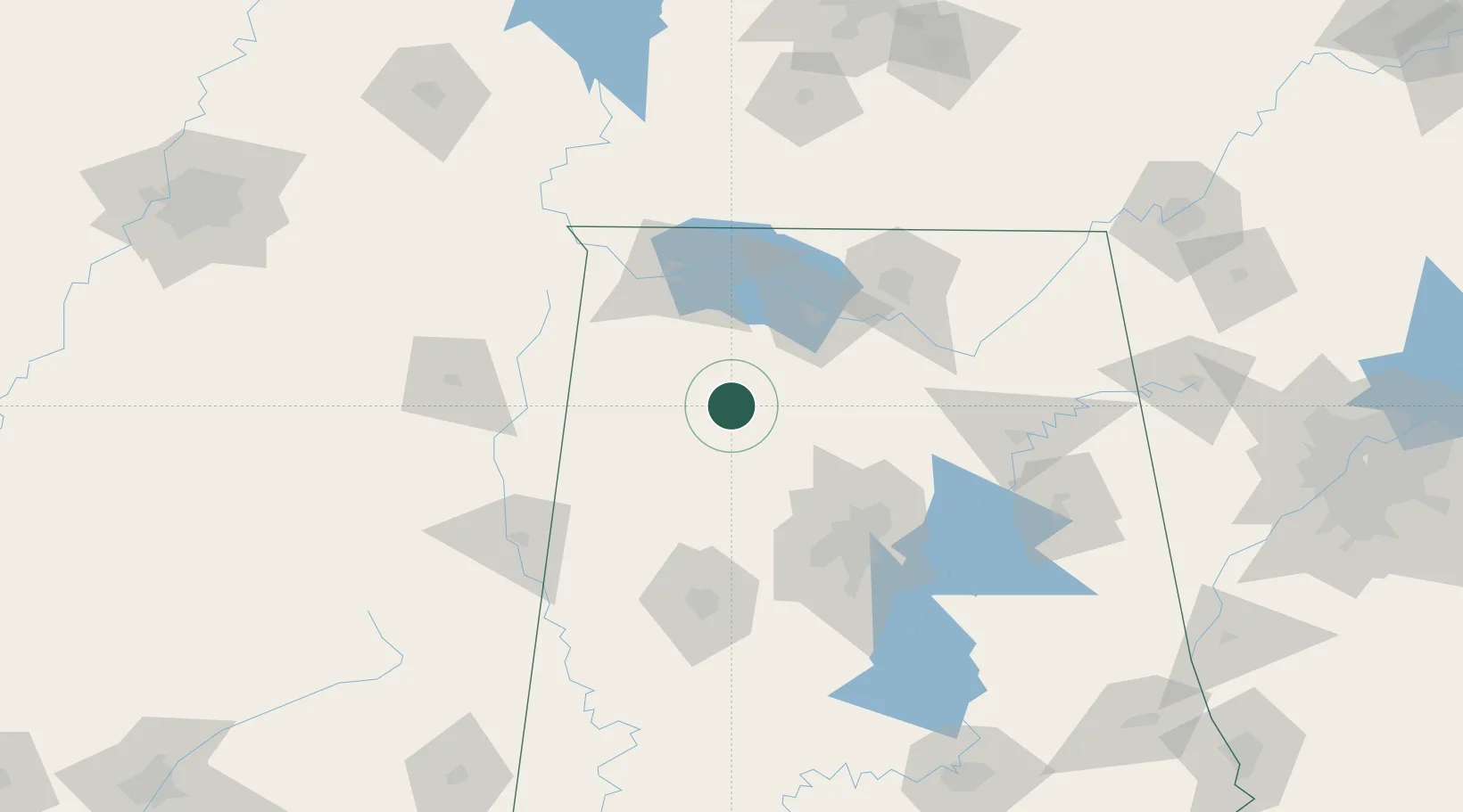
34.1500°, -87.4000°
1,056
Population
2
Transport functions
Transport Functions
Road
Multimodal
Hub Profile
Place type
Provincial seat
Region
Alabama
Population
1,056
Time zone
America/Chicago
Elevation
251 m
Location
Nearby Logistics Neighbours
Cities
- 1Haleyville23 km
- 2Phil Campbell35 km
- 3Jasper39 km
- 4Hackleburg43 km
- 5Falkville52 km
Ports
- 1Port Of Memphis273 km
- 2Mobile391 km
- 3Pensacola417 km
- 4Pascagoula437 km
- 5Biloxi441 km
Airports
Trade Zones
DatabookThe Record of Consolidated Knowledge
United States beyond logistics?