Transport Functions
Port
Road
Multimodal
Hub Profile
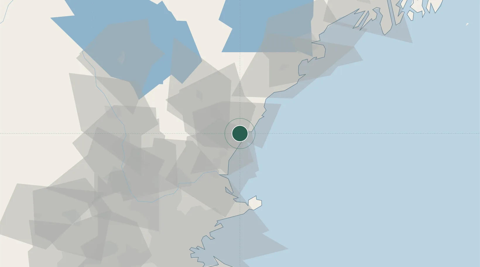
Place type
Populated place
Region
Maine
Population
4,562
Time zone
America/New_York
Elevation
6 m
Location
Nearby Logistics Neighbours
Cities
- 1Newington7 km
- 2York Harbor10 km
- 3York Beach14 km
- 4North Hampton15 km
- 5Durham16 km
Ports
- 1Portsmouth1 km
- 2Newburyport32 km
- 3Kennebunkport38 km
- 4Rockport47 km
- 5Saco52 km
Airports
Trade Zones
- 1FTZ No. 081 Portsmouth10 km
- 2FTZ No. 027 Boston91 km
- 3FTZ No. 263 Auburn120 km
- 4FTZ No. 105 Providence and North Kingstown153 km
- 5FTZ No. 268 Brattleboro154 km
DatabookThe Record of Consolidated Knowledge
United States beyond logistics?