Transport Functions
Multimodal
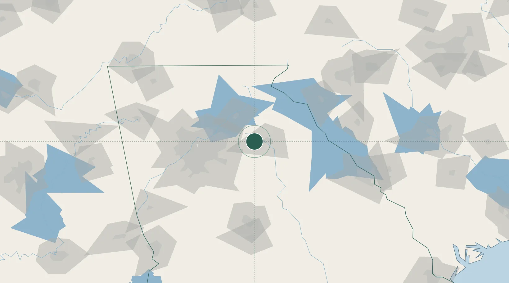
Hub Profile
Place type
Populated place
Region
Georgia
Population
2,624
Time zone
America/New_York
Elevation
272 m
Location
Nearby Logistics Neighbours
Cities
- 1Bogart5 km
- 2Bethlehem12 km
- 3Jefferson, Jackson19 km
- 4Bishop20 km
- 5Braselton23 km
Ports
- 1Savannah312 km
- 2Beaufort320 km
- 3Port Royal322 km
- 4Darien351 km
- 5Charleston364 km
Airports
Trade Zones
- 1FTZ No. 026 Atlanta77 km
- 2FTZ No. 038 Spartanburg County161 km
- 3FTZ No. 134 Chattanooga208 km
- 4FTZ No. 127 West Columbia226 km
- 5FTZ No. 148 Knoxville234 km
DatabookThe Record of Consolidated Knowledge
United States beyond logistics?