UN/LOCODE hub · United States
USXRR

Climax

35.9000°, -79.7167°
1
Transport functions

Transport Functions

Multimodal
UN/LOCODE

Hub Profile

Place type
Populated place
GeoNames
Region
North Carolina
GeoNames
Time zone
America/New_York
GeoNames
Elevation
244 m
GeoNames

Location

Location of USXRR
Natural Earth 10m (public domain) · North Carolina · USXRR · 35.90, -79.72GoogleOSMYandex

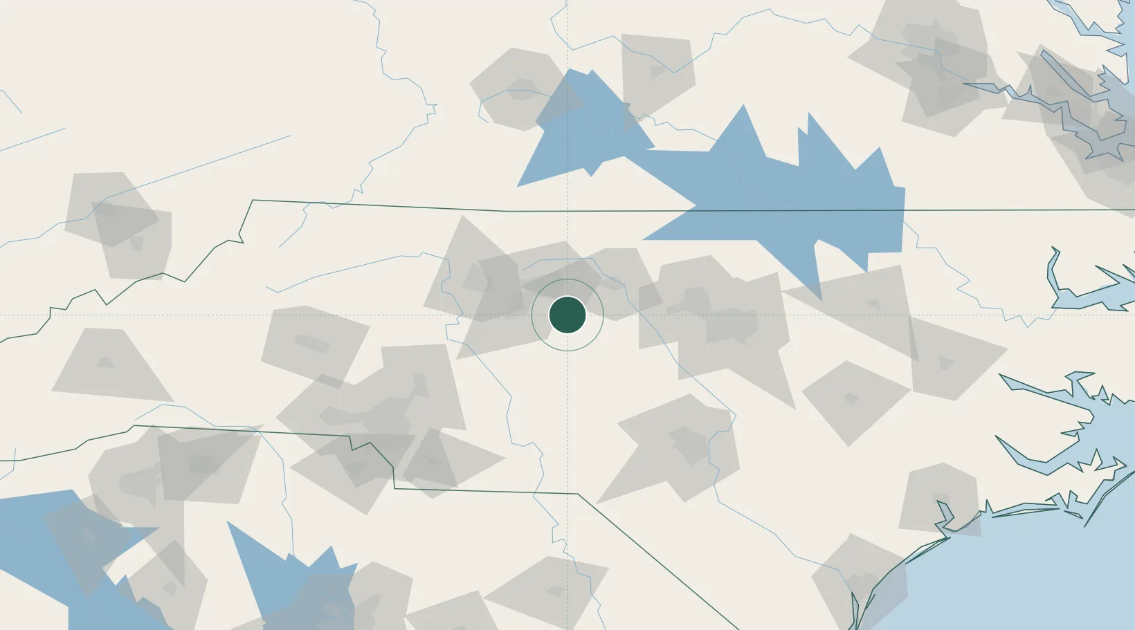
Nearby Logistics Neighbours

Cities
  1. 1Glenola18 km
  2. 2Jamestown22 km
  3. 3McLeansville23 km
  4. 4Trinity Park26 km
  5. 5Gibsonville27 km
Nearest neighbours — logibook spatial index (haversine) over the source coordinates
Ports
  1. 1Washington244 km
  2. 2Wilmington245 km
  3. 3Wrightsville255 km
  4. 4New Bern257 km
  5. 5Plymouth267 km
Nearest neighbours — logibook spatial index (haversine) over the source coordinates
Airports
  1. 1Piedmont Triad International Airport30 km
  2. 2Smith Reynolds Airport52 km
  3. 3Danville Regional Airport82 km
  4. 4Raleigh-Durham International Airport84 km
  5. 5Pope Field103 km
Nearest neighbours — logibook spatial index (haversine) over the source coordinates
Trade Zones
  1. 1FTZ No. 230 Piedmont Triad Area51 km
  2. 2FTZ No. 093 Raleigh Durham73 km
  3. 3FTZ No. 057 Mecklenburg County143 km
  4. 4FTZ No. 238 Dublin160 km
  5. 5FTZ No. 214 Lenoir County182 km
Nearest neighbours — logibook spatial index (haversine) over the source coordinates
DatabookThe Record of Consolidated Knowledge
United States beyond logistics?
Browse databook

All Sources

LocationsUN/LOCODE
UN/LOCODE — free
Portsthe NGA World Port Index
Public domain (US gov)
AirportsOurAirports
Public domain
Trade Zonesthe World Bank SEZ database
CC BY 4.0
Trade ZonesOpen Zone Map
CC BY
← United States locations