UN/LOCODE hub · United States
USWC4

Wicomico Church

37.8167°, -76.4000°
3
Transport functions

Transport Functions

Port
Road
Multimodal
UN/LOCODE

Hub Profile

Place type
Populated place
GeoNames
Region
Virginia
GeoNames
Time zone
America/New_York
GeoNames
Elevation
30 m
GeoNames

Location

Location of USWC4
Natural Earth 10m (public domain) · Virginia · USWC4 · 37.82, -76.40GoogleOSMYandex

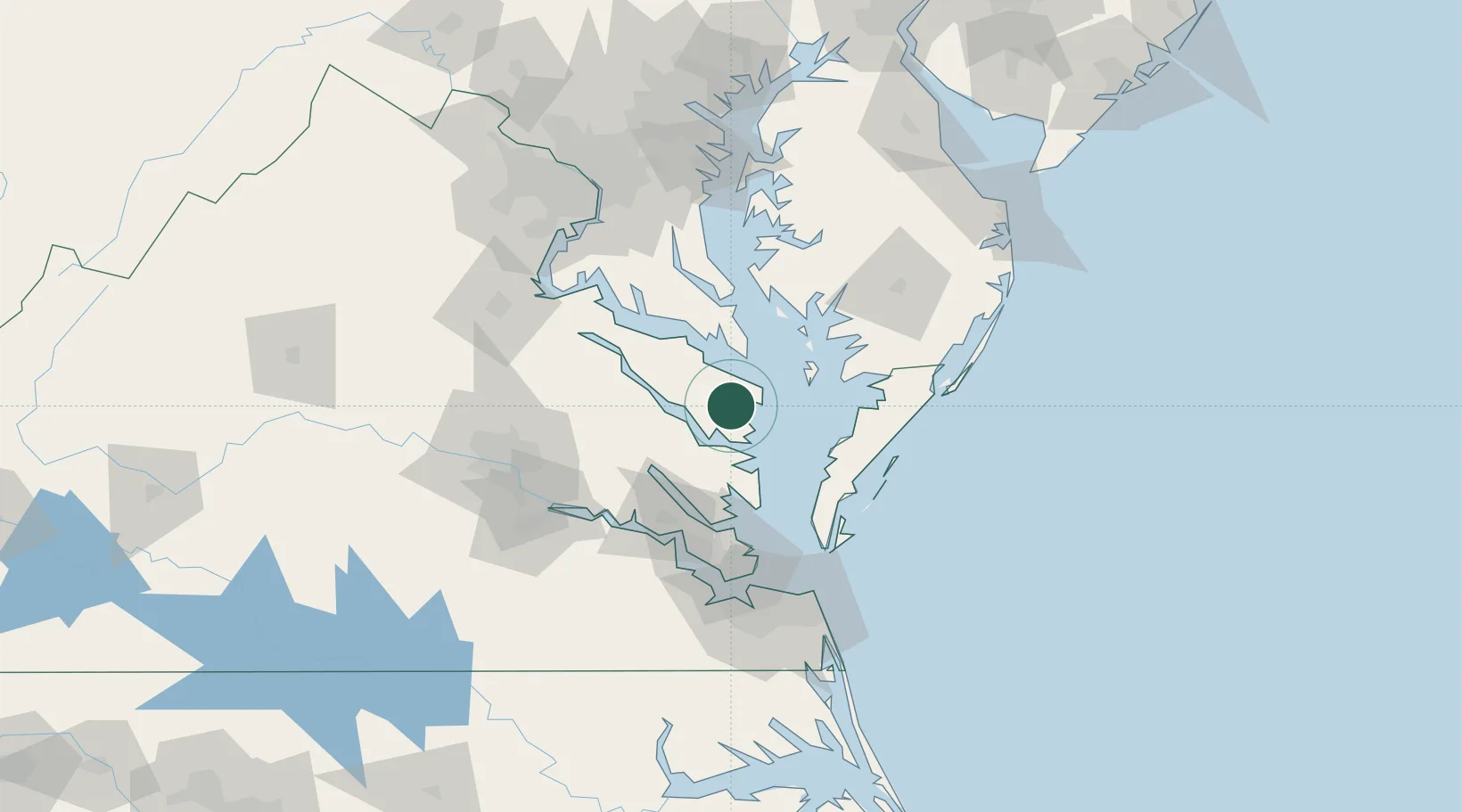
Nearby Logistics Neighbours

Cities
  1. 1Heathsville13 km
  2. 2Locust Hill, Middlesex26 km
  3. 3Jamaica28 km
  4. 4Cobbs Creek35 km
  5. 5Warsaw36 km
Nearest neighbours — logibook spatial index (haversine) over the source coordinates
Ports
  1. 1Piney Point37 km
  2. 2West Point47 km
  3. 3Solomons Island56 km
  4. 4Yorktown66 km
  5. 5Cape Charles70 km
Nearest neighbours — logibook spatial index (haversine) over the source coordinates
Airports
  1. 1Patuxent River Naval Air Station (Trapnell Field)52 km
  2. 2Newport News Williamsburg International Airport77 km
  3. 3Felker Army Air Field78 km
  4. 4Langley Air Force Base82 km
  5. 5Richmond International Airport88 km
Nearest neighbours — logibook spatial index (haversine) over the source coordinates
Trade Zones
  1. 1FTZ No. 020 Suffolk101 km
  2. 2FTZ No. 207 Richmond107 km
  3. 3FTZ No. 063 PrInce Georges County131 km
  4. 4FTZ No. 073 BWI Airport153 km
  5. 5FTZ No. 137 Washington Dulles International Airport157 km
Nearest neighbours — logibook spatial index (haversine) over the source coordinates
DatabookThe Record of Consolidated Knowledge
United States beyond logistics?
Browse databook

All Sources

LocationsUN/LOCODE
UN/LOCODE — free
Portsthe NGA World Port Index
Public domain (US gov)
AirportsOurAirports
Public domain
Trade Zonesthe World Bank SEZ database
CC BY 4.0
Trade ZonesOpen Zone Map
CC BY
← United States locations