Transport Functions
Road
Multimodal
Hub Profile
Place type
Provincial seat
Region
Virginia
Population
1,495
Time zone
America/New_York
Elevation
40 m
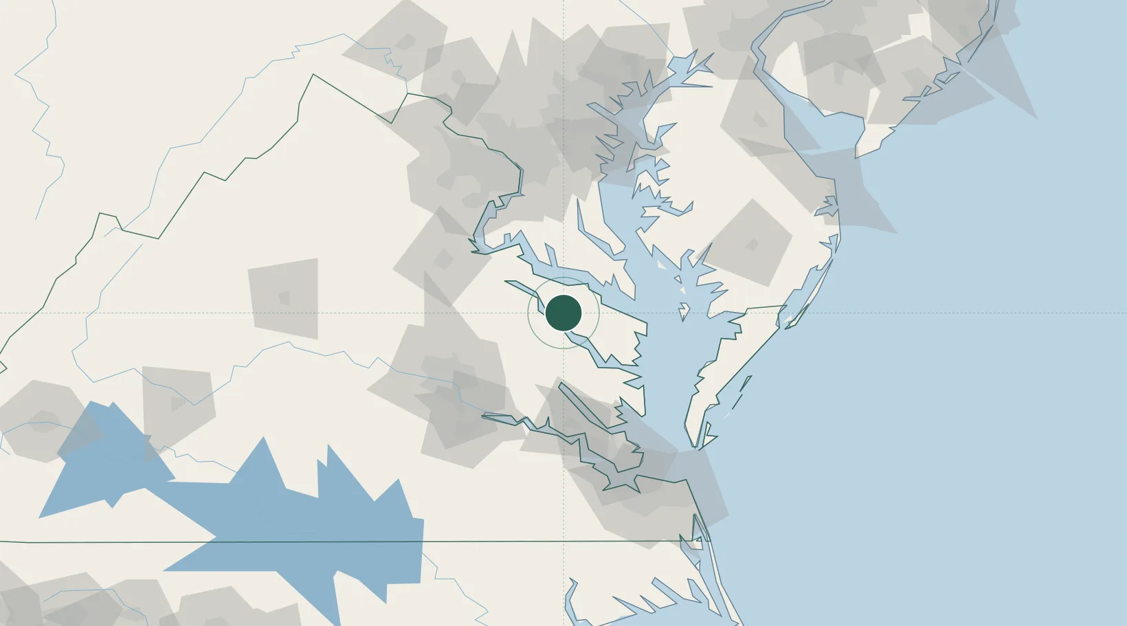
Location
Nearby Logistics Neighbours
Cities
- 1Havelock8 km
- 2Champlain19 km
- 3Heathsville27 km
- 4Jamaica31 km
- 5Walkerton35 km
Ports
- 1Piney Point28 km
- 2Solomons Island48 km
- 3West Point48 km
- 4Fredericksburg70 km
- 5Richmond75 km
Airports
Trade Zones
DatabookThe Record of Consolidated Knowledge
United States beyond logistics?