UN/LOCODE hub · United States
USDFZ
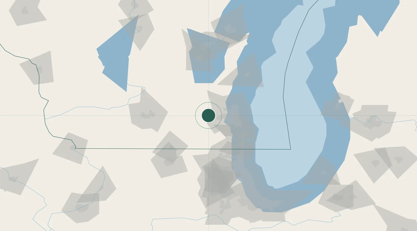
Delafield
43.0667°, -88.4000°
7,180
Population
2
Transport functions
Transport Functions
Road
Multimodal
Hub Profile
Place type
Populated place
Region
Wisconsin
Population
7,180
Time zone
America/Chicago
Elevation
275 m
Location
Nearby Logistics Neighbours
Ports
- 1Milwaukee42 km
- 2Port Washington56 km
- 3Racine62 km
- 4Kenosha72 km
- 5Waukegan91 km
Airports
Trade Zones
- 1FTZ No. 041 Milwaukee24 km
- 2FTZ No. 292 Lake County93 km
- 3FTZ No. 266 Dane County106 km
- 4FTZ No. 176 Rockford112 km
- 5FTZ No. 019 Omaha136 km
DatabookThe Record of Consolidated Knowledge
United States beyond logistics?