Transport Functions
Rail
Road
Hub Profile
Place type
Populated place
Region
South Carolina
Time zone
America/New_York
Elevation
189 m
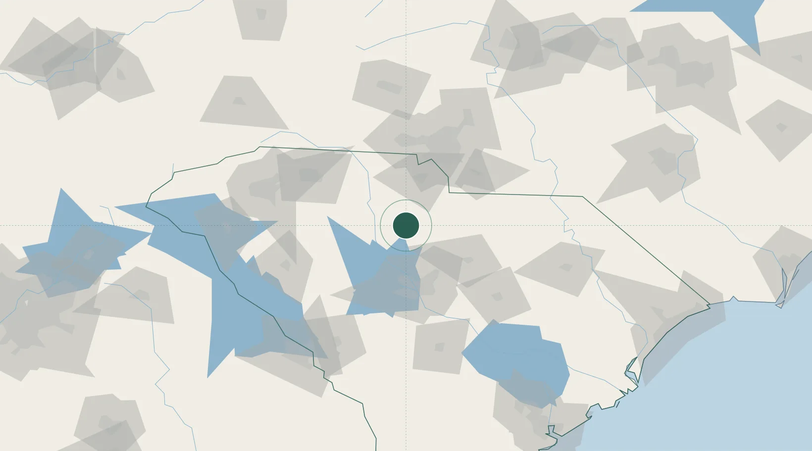
Location
Nearby Logistics Neighbours
Cities
- 1Fort Lawn30 km
- 2Ridgeway33 km
- 3Heath Springs43 km
- 4Whitmire43 km
- 5Little Mountain46 km
Ports
- 1Georgetown217 km
- 2Charleston227 km
- 3Beaufort240 km
- 4Port Royal247 km
- 5Savannah274 km
Airports
Trade Zones
DatabookThe Record of Consolidated Knowledge
United States beyond logistics?