UN/LOCODE hub · United States
USUCS

Union

34.7167°, -81.6167°
8,045
Population
2
Transport functions

Transport Functions

Rail
Road
UN/LOCODE

Hub Profile

Place type
Provincial seat
GeoNames
Region
South Carolina
GeoNames
Population
8,045
GeoNames
Time zone
America/New_York
GeoNames
Elevation
196 m
GeoNames

Location

Location of USUCS
Natural Earth 10m (public domain) · South Carolina · USUCS · 34.72, -81.62GoogleOSMYandex

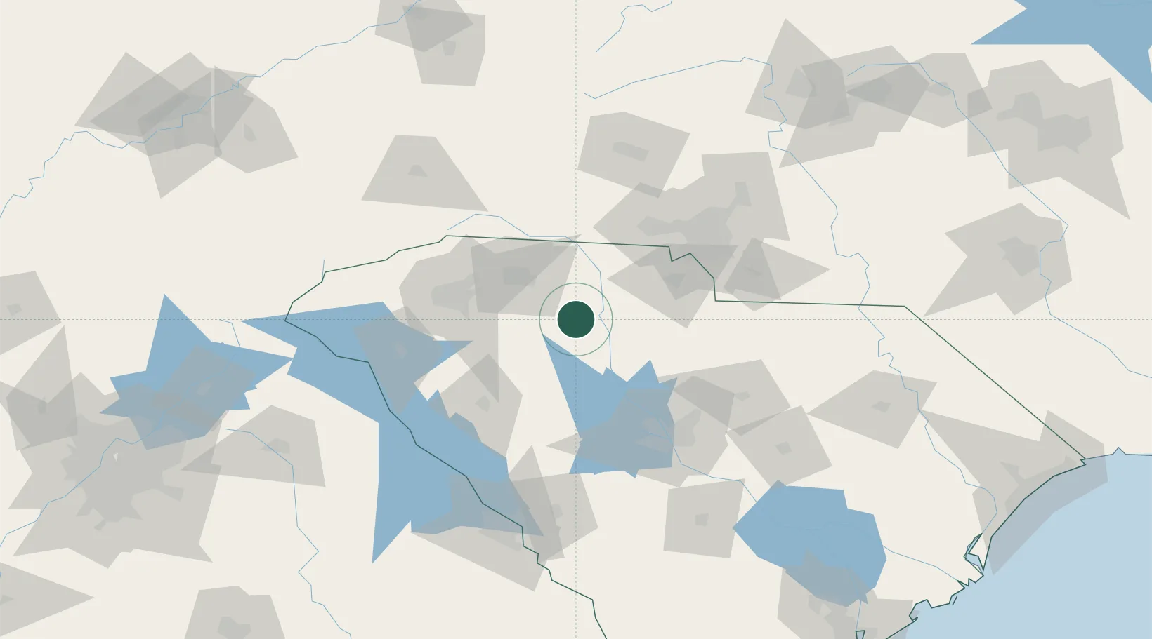
Nearby Logistics Neighbours

Cities
  1. 1Pacolet22 km
  2. 2Whitmire24 km
  3. 3White Stone27 km
  4. 4Hickory Grove, York35 km
  5. 5Woodruff38 km
Nearest neighbours — logibook spatial index (haversine) over the source coordinates
Ports
  1. 1Georgetown262 km
  2. 2Charleston266 km
  3. 3Beaufort269 km
  4. 4Port Royal275 km
  5. 5Savannah297 km
Nearest neighbours — logibook spatial index (haversine) over the source coordinates
Airports
  1. 1Greenville-Spartanburg International Airport59 km
  2. 2Greenville Downtown Airport69 km
  3. 3Charlotte Douglas International Airport83 km
  4. 4Columbia Metropolitan Airport98 km
  5. 5Jim Hamilton L.B. Owens Airport101 km
Nearest neighbours — logibook spatial index (haversine) over the source coordinates
Trade Zones
  1. 1FTZ No. 038 Spartanburg County61 km
  2. 2FTZ No. 057 Mecklenburg County77 km
  3. 3FTZ No. 127 West Columbia92 km
  4. 4FTZ No. 021 Dorchester County201 km
  5. 5FTZ No. 204 Tri-Cities209 km
Nearest neighbours — logibook spatial index (haversine) over the source coordinates
DatabookThe Record of Consolidated Knowledge
United States beyond logistics?
Browse databook

All Sources

LocationsUN/LOCODE
UN/LOCODE — free
LocationsGeoNames
CC BY 4.0
Portsthe NGA World Port Index
Public domain (US gov)
AirportsOurAirports
Public domain
Trade Zonesthe World Bank SEZ database
CC BY 4.0
Trade ZonesOpen Zone Map
CC BY
← United States locations