Transport Functions
Multimodal
Hub Profile
Place type
Populated place
Region
South Carolina
Population
2,352
Time zone
America/New_York
Elevation
238 m
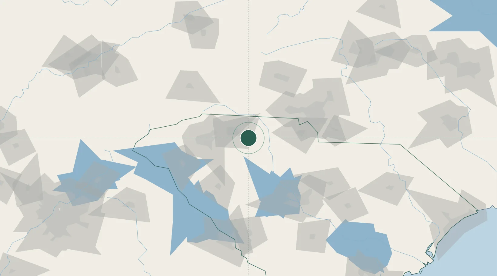
Location
Nearby Logistics Neighbours
Cities
- 1White Stone6 km
- 2Union22 km
- 3Mayo24 km
- 4Carlisle, Spartanburg26 km
- 5Woodruff31 km
Ports
- 1Georgetown283 km
- 2Charleston288 km
- 3Beaufort290 km
- 4Port Royal297 km
- 5Savannah317 km
Airports
Trade Zones
DatabookThe Record of Consolidated Knowledge
United States beyond logistics?